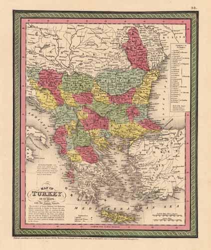
Map of Turkey in Europe together with the Ionian Islands
In stock
This map of Turkey in Europe with the Ionian Islands was published by Thomas, Cowperthwait and Co., in 1854. Country regions, cities, towns, bodies of water, and topographical features are illustrated on this map. Original hand coloring in muted pastels and Cowperthwaits signature sage and pink border make this map a standout from other maps made during this time. ‘
Size: 9.5 x 12 inches
Condition: Very Good
Map Maker: Thomas, Cowperthwait & Co
Coloring: Original Hand Coloring
Year: 1854
Condition: Very Good
Map Maker: Thomas, Cowperthwait & Co
Coloring: Original Hand Coloring
Year: 1854
In stock


