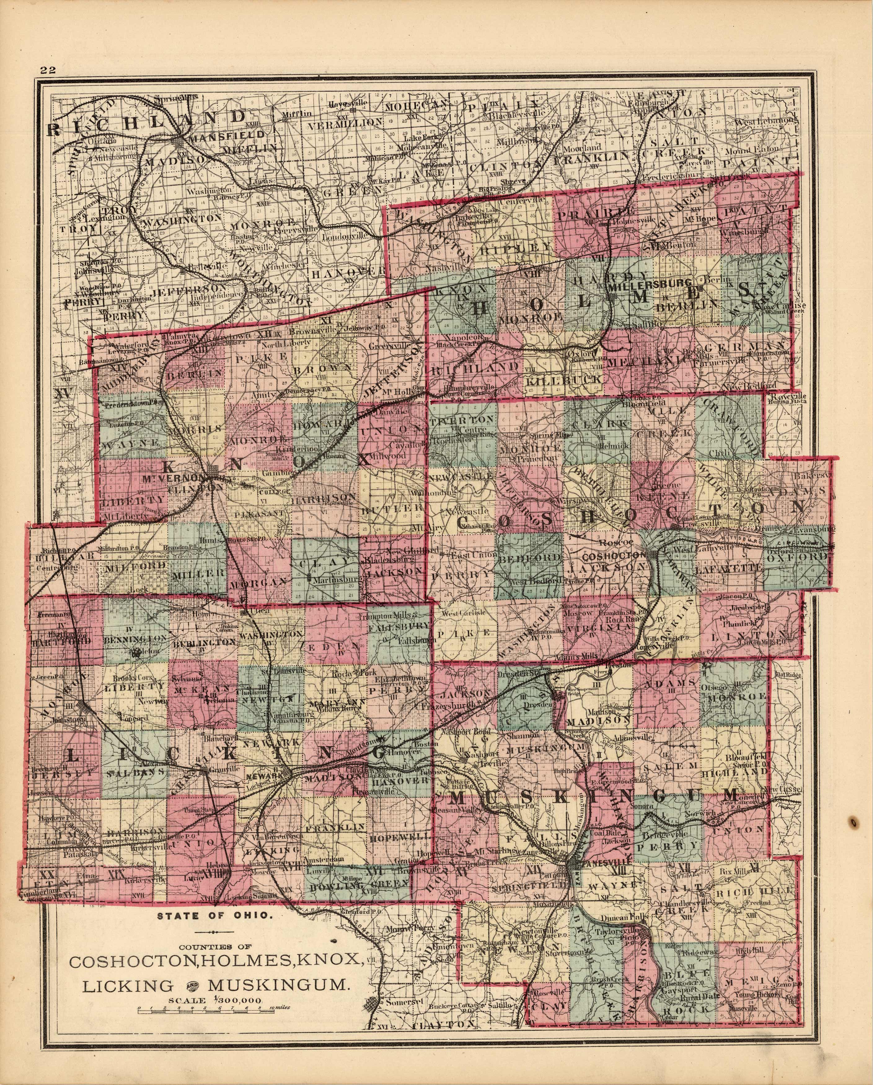
State of Ohio, Counties of Coshocton, Holmes, Knox, Licking, and Muskingum
In stock
We are especially proud to offer this beautifully engraved, hand colored map, produced in 1875 by L.H. Everts and Company for the Illustrated Historical Atlas of Clarke County, Ohio. Everts is responsible for producing some of the finest county and state atlases of the central U.S. A rare find.
Size: 12 x 15 inches
Condition: Very Good
Map Maker: L.H. Everts
Coloring: Original Hand Coloring
Year: 1875
Condition: Very Good
Map Maker: L.H. Everts
Coloring: Original Hand Coloring
Year: 1875
In stock


