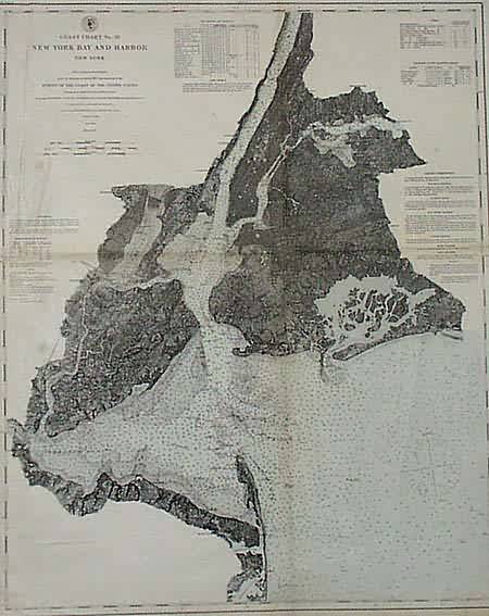
Coast Chart No. 20 New York Bay and Harbor
Out of stock
This is a United States Coastal Chart of New York Bay and Harbor. Made in 1877, this map has sailing directions, a list of tides, light houses and beacons, soundings and a list of variations of the magnetic needle.
Size: 17 x 21 inches
Condition: Good- some age toning and small light stains
Map Maker: United States Coast Survey
Coloring: Original Hand Coloring
Year: 1877
Condition: Good- some age toning and small light stains
Map Maker: United States Coast Survey
Coloring: Original Hand Coloring
Year: 1877
Out of stock


