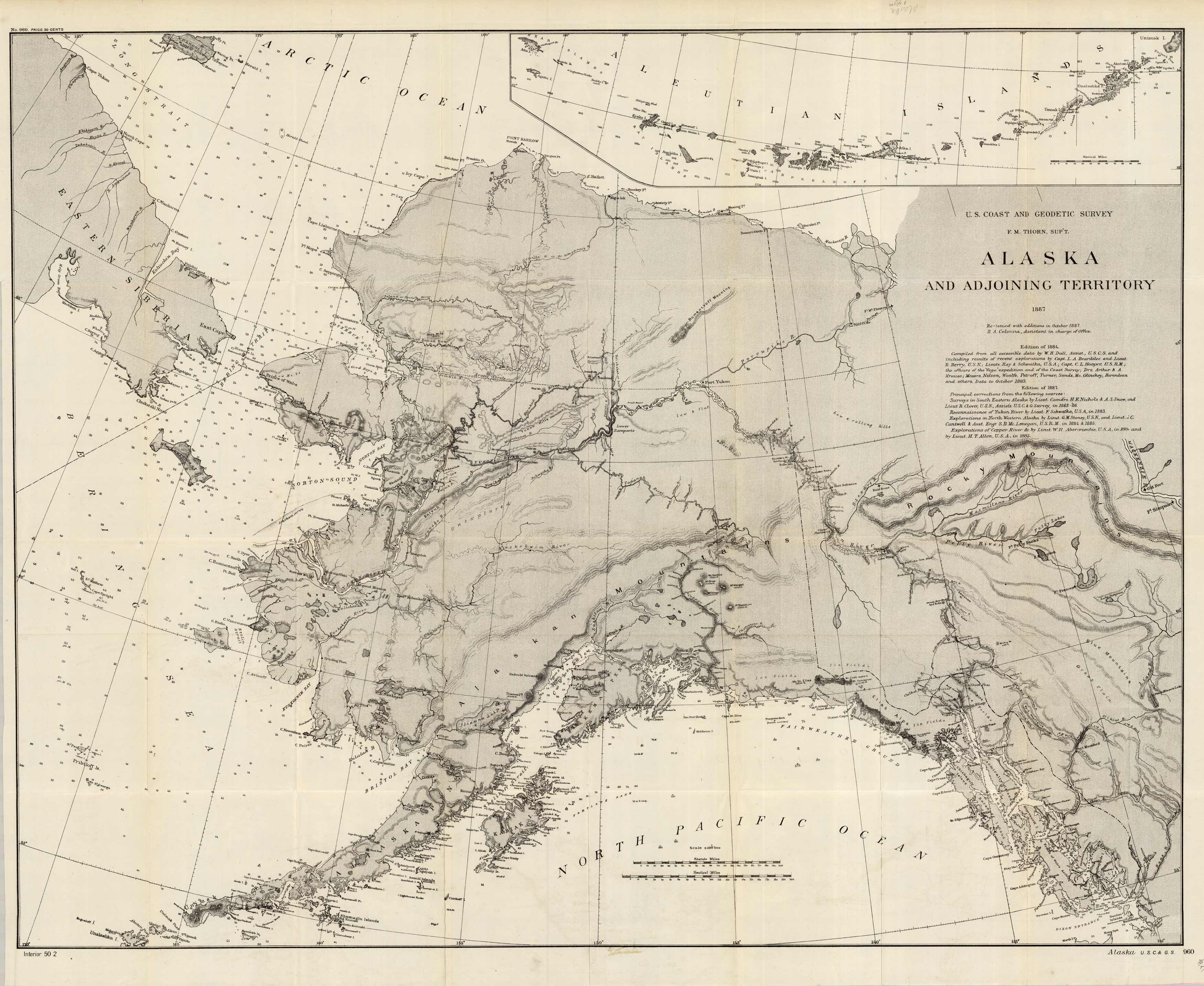
Alaska and Adjoining Territory
In stock
This is a beautifully detailed topographic map of Alaska and surrounding territories done by the U.S. Coast and Geodetic Survey reissued 1887 from the 1884 version. A small portion of Eastern Siberia, the Bering Strait to the start of the Rocky Mountains is shown. This map is highly detailed with names of all the small islands along the coasts, rivers, and lake names. There is also an inset of the Aleutian Islands at the top of the map.
Size: 32.25 x 27.25 inches
Condition: Very Good
Map Maker: U.S. Coast and Geodetic Survey
Coloring: Black and White
Year: 1887
Condition: Very Good
Map Maker: U.S. Coast and Geodetic Survey
Coloring: Black and White
Year: 1887
In stock


