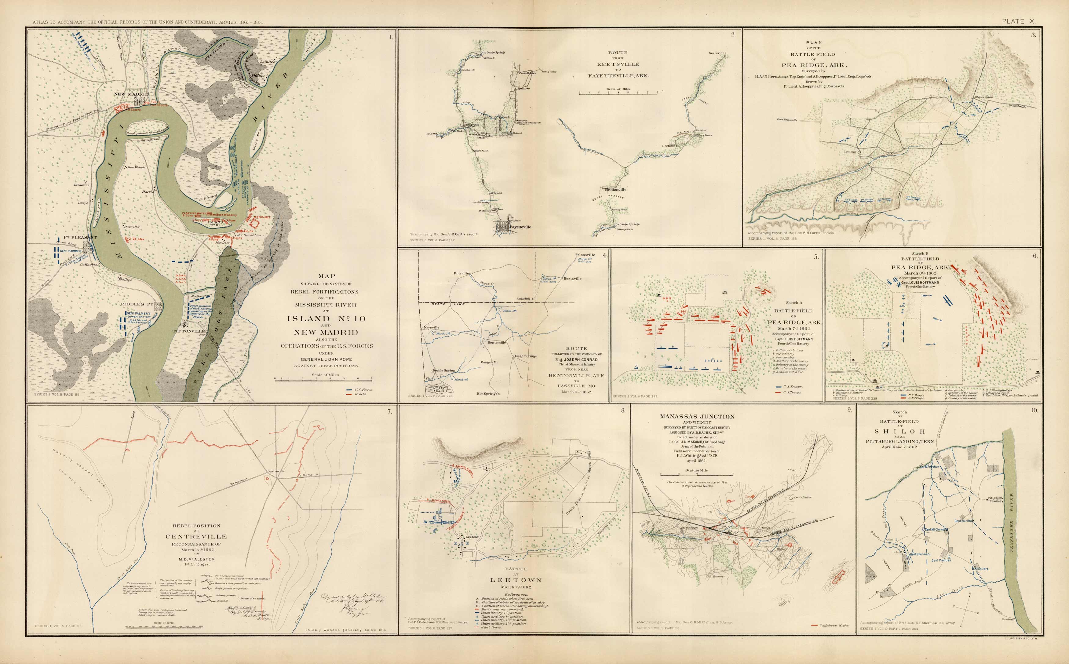
Civil War Atlas; Plate 10; Battles of; Shiloh, Pea Ridge, Lee Town
In stock
This plate came from The Atlas to Accompany the Official Records of the Union and Confederate Armies. The Atlas was published between 1891 and 1895 and is the definitive source of Civil War information available.This Plate contains the following map(s). Plate X1. Map Showing the System of Rebel Fortifications of the Mississippi River at Island No. 10 and New Madrid.2. Route from Keetsville to Fayetteville, Ark.3. Plan of the Battle-Field of Pea Ridge, Ark.4. Route Followed from Bentonville, Ark. To Cassville, Mo.5. Battle-Field of Pea Ridge Ark.6. Battle-Field of Pea Ridge Ark.7. Rebel Positions at Centreville8. Battle at Lee Town9. Manassas Junction and Vicinity10. Sketch of Battle-Field at Shiloh, near Pittsburg Landing Tenn.
Condition: Very Good
Map Maker: U.S. War Records Office
Coloring: Lithograph Color
Year: 1891
In stock


