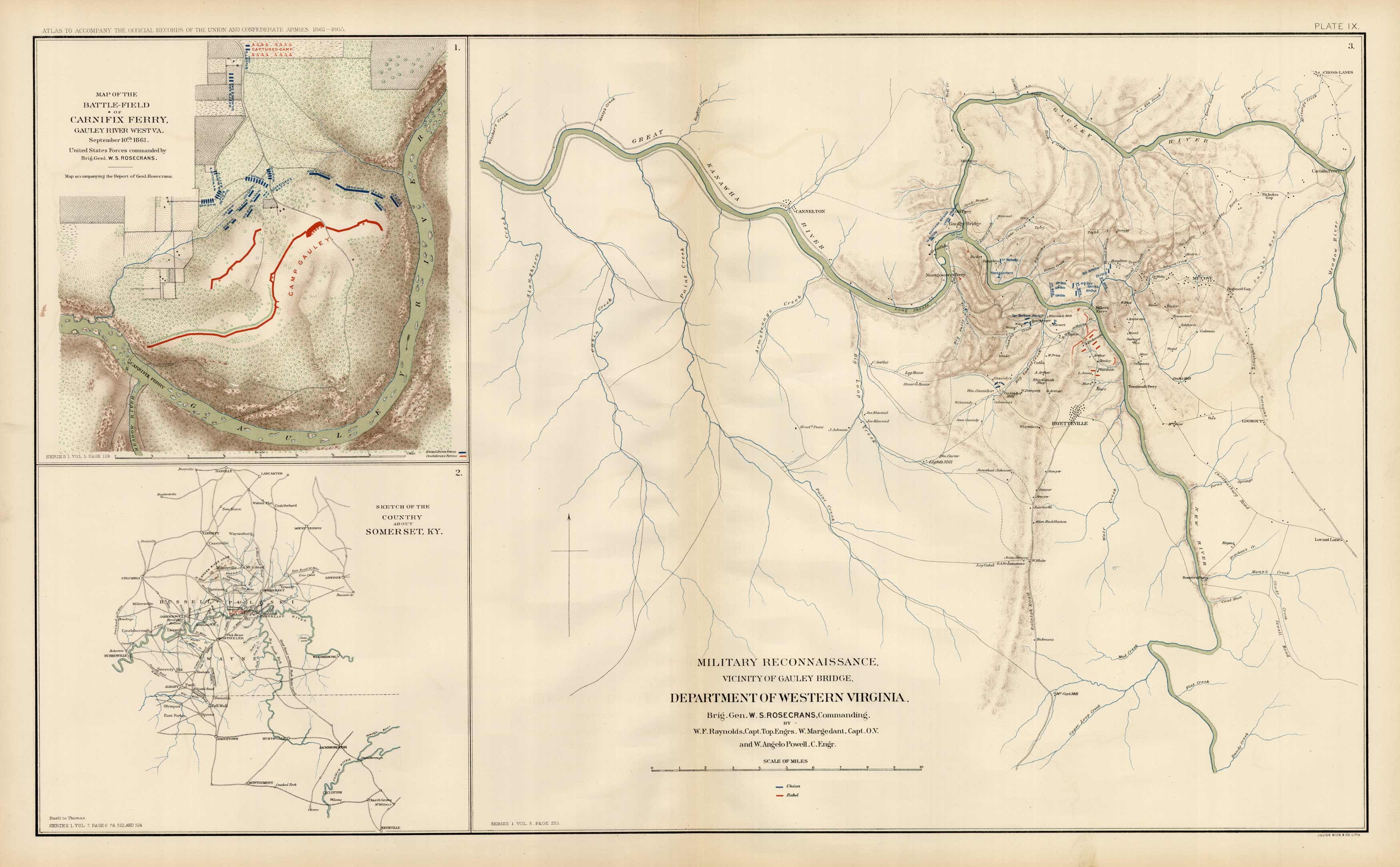
Civil War Atlas; Plate 9; Carnifix Ferry, Somerset, KY., Western Virginia
In stock
This plate came from The Atlas to Accompany theOfficial Records of the Union and Confederate Armies. TheAtlas was published between 1891 and 1895 and is thedefinitive source of Civil War information available. This Plate contains the following map(s).Plate IX1. Map of the Battle-Field of Carnifix Ferry, Gauley River West, VA.2. Sketch of the Country about Somer Set, KY.3. Military Reconnaissance, Vicinity of Gauley Bridge, Department of Western Virginia.
Size: 27 x 16.5 inches
Condition: Very Good
Map Maker: U.S. War Records Office
Coloring: Lithograph Color
Year: 1891
Condition: Very Good
Map Maker: U.S. War Records Office
Coloring: Lithograph Color
Year: 1891
In stock


