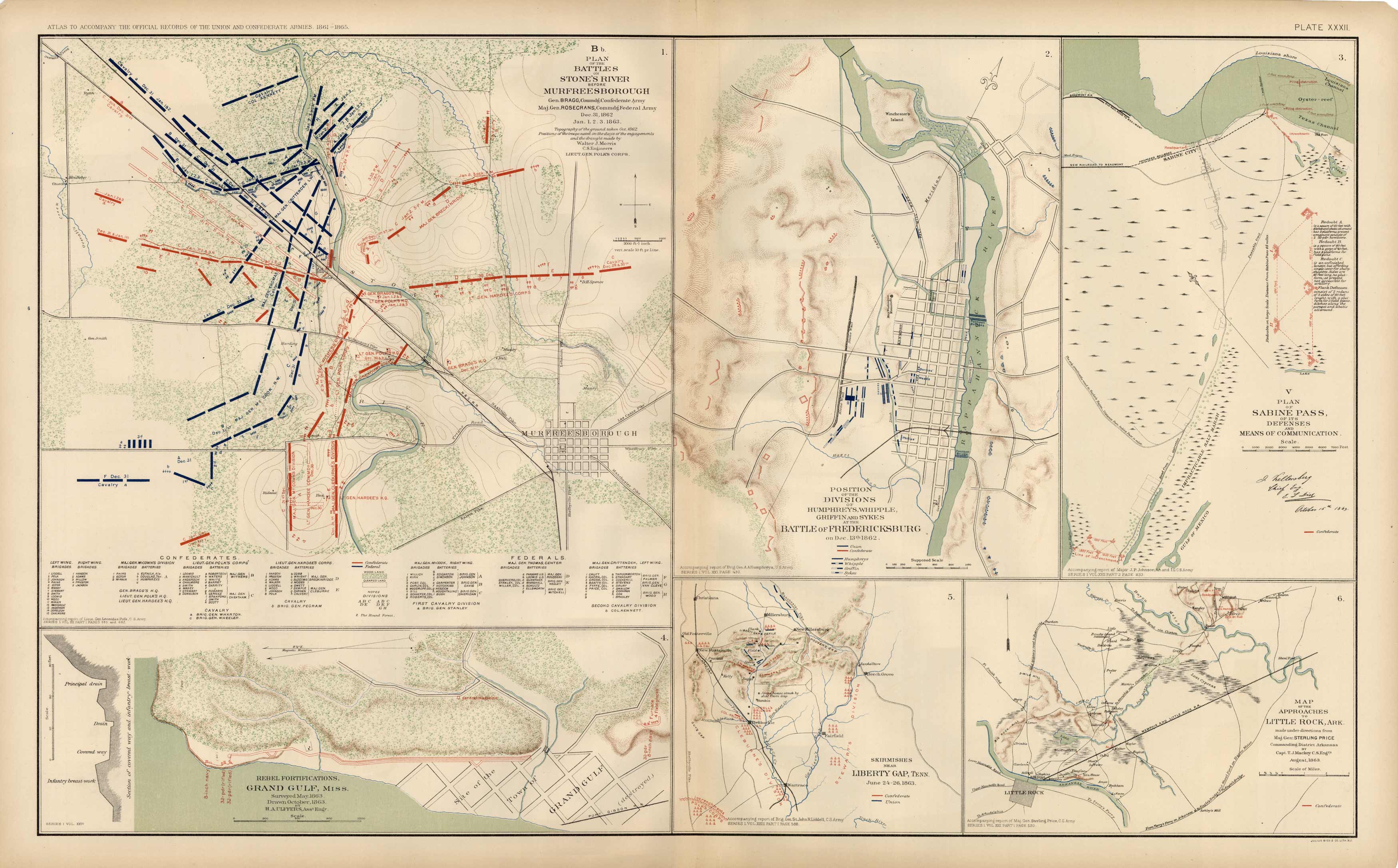
Civil War Atlas; Plate 32; Maps of the Battles of Murfreesborough and Stones River, Fredericksburg; Sabine Pass; Liberty Gap; Grand Gulf’
In stock
This plate came from The Atlas to Accompany the Official Records of the Union and Confederate Armies. The Atlas was published between 1891 and 1895 and is the definitive source of Civil War information. This Plate contains the following map(s).Plate XXXII1. B Plan of Battles on Stones River Before Murfreesborough2. Rebel Fortifications, Grand Gulf, Miss.3. Humphreys Whipple, Griffin and Sykes at The Battle of Fredericksburg4. V Plan of Sabine Pass, of it’s Defenses and Means of Communication5. Skirmishes Near Liberty Gap, Tenn.6. Map of Approaches to Little Rock, Ark.
Size: 27 x 16.5 inches
Condition: Very Good
Map Maker: U.S. War Records Office
Coloring: Lithograph Color
Year: 1892
Condition: Very Good
Map Maker: U.S. War Records Office
Coloring: Lithograph Color
Year: 1892
In stock


