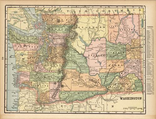
Washington (State)
In stock
This map of the western United States shows more states that were admitted to the Union during this period, showing the Louisiana Purchase, First Mexican Cession, and other territories during the late 1800s. Exact dates of admission are also included. There is also a chart of the Administrations during this period.
Size: 14 x 10 inches
Condition: Very Good, light age toning
Map Maker: George F. Cram
Coloring: Printed Color
Year: 1900
Condition: Very Good, light age toning
Map Maker: George F. Cram
Coloring: Printed Color
Year: 1900
In stock


