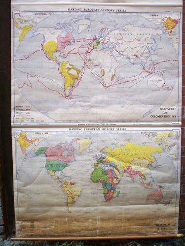
The World in 1914, Discoveries and Colonizations in 1763
In stock
This double map of the World was published by Denoyer-Gepper Co. in 1916. The top map is The World in 1914 with inset maps in the corners of India under Clive and Hastings, and another of the West Indies, 1763. The routes of Marco Polo, Columbus, John Cabot, Vasco da Gama, Magellan, Drake, and Cook. Other indications include land and caravan routes of Spanish, Portuguese, Dutch, French and British. The bottom map is Discoveries and Colonizations in 1763. Insets of India-1858 and Russo-Japanese War (1904-5). The map key indicates Colonies and Dependencies by color by county. This map is hung by wooden dowels. It is in good condition with age toning, cracks, and some paper loss, mainly at bottom map. Additional pictures are available. Appx size: 59.5″ x 42″, with dowel: 66″ x 44″
Condition: Good, some age toning, cracks, and paper loss
Map Maker: Denoyer-Gepper Company
Coloring: Printed Color
Year: 1916
In stock


