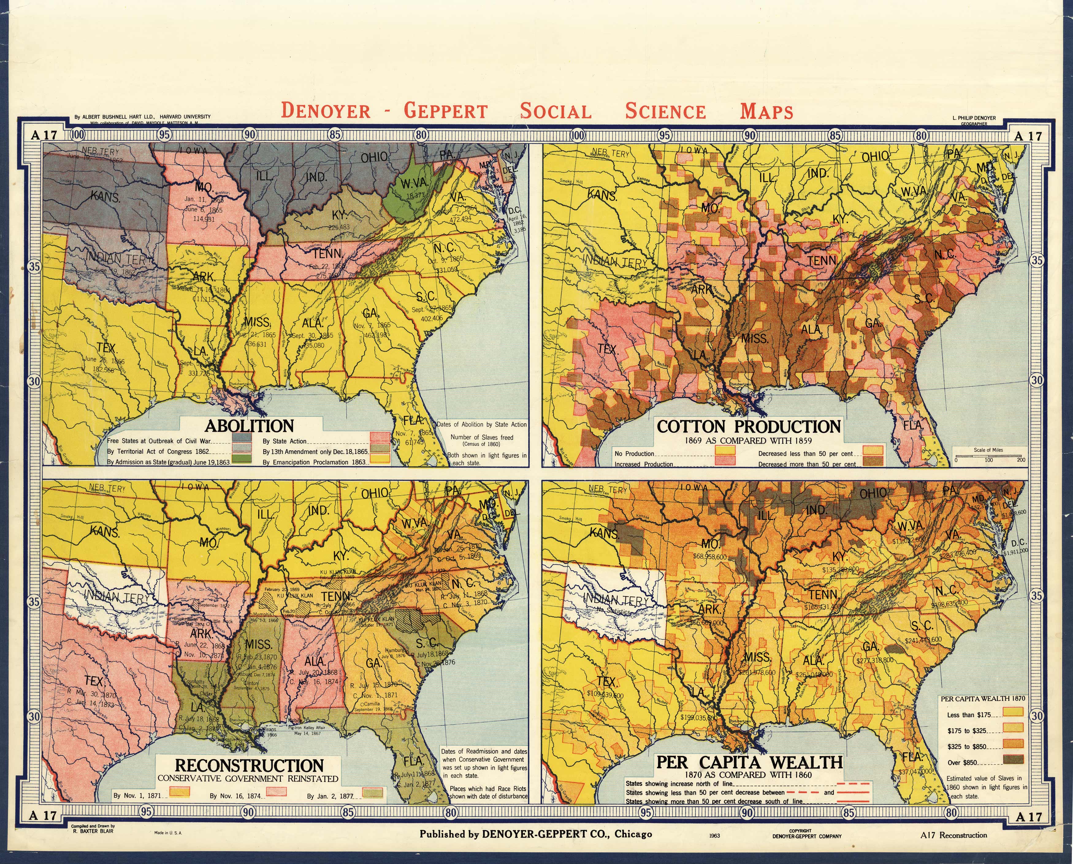
Abolition, Cotton Production, Reconstruction, Per Capita Wealth
In stock
This large wall map is a great educational map published by Denoyer-Geppert for its Social Science Maps collection in 1963. Brightly colored and easy to read, this map consists of four separate maps of: Abolition, Reconstruction – Conservative Government Reinstated, Cotton Production – 1869 as compared with 1859, and Per Capita Wealth – 1870 as compared with 1860.
Size: 41.75 x 30 inches
Condition: Good, tears along edges, archivally repaired tears with tape, some paper loss and light stains
Map Maker: Denoyer-Gepper Company
Coloring: Printed Color
Year: 1963
Condition: Good, tears along edges, archivally repaired tears with tape, some paper loss and light stains
Map Maker: Denoyer-Gepper Company
Coloring: Printed Color
Year: 1963
In stock


