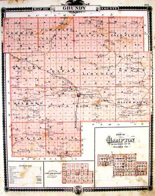
Map of Grundy County
In stock
This map is from A.T. Andreas” Illustrated Historical Atlas of the State of Iowa, printed in 1875. This map is of Grundy County. Details include the names of towns, lakes, rivers, brooks and creeks, rail lines,large land holders and roads. An inset is included of the Plan of Hampton in Franklin Co. showing the original town as well as Gillett;s, Beeds and Ringman’s. Another inset shows the plan of Grundy center. This local map would make a great gift for a resident of the area.
Size: 13 x 16 inches
Condition: Good
Map Maker: A.T. Andreas
Coloring: Lithographic Coloring
Year: 1875
Condition: Good
Map Maker: A.T. Andreas
Coloring: Lithographic Coloring
Year: 1875
In stock


