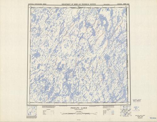
Phelps Lake, Saskatchewan
In stock
Produced by the Surveys and Mapping Branch for the Department of Mines and Technical Surveys, Canada, this topographic map gives great detail of land elevations and terrain of a given area in Canada. Indications represent portage, esker, streams, rapids, lakes, marshes, sand, and rock. This map focuses on Phelps Lake, Saskatchewan. There is a library stamp and small markings on the margin.
Size: 19 x 18.5 inches
Condition: Very Good
Map Maker: Army Survey Establishment - Canada
Coloring: Printed Color
Year: 1952
Condition: Very Good
Map Maker: Army Survey Establishment - Canada
Coloring: Printed Color
Year: 1952
In stock


