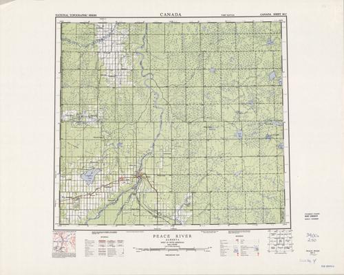
Peace River, Alberta
In stock
Produced by the Department of Mines and Technical Surveys, Canada, this topographic map indicates wooded areas, marshes or swamps, eskers, streams, and lakes. Other indications may include roads, trails, mines, and survey monuments. This map of Peace River, Alberta, includes hard surface roads, loose roads, wagon tracks, railways, boundary lines, and townships surveyed and unsurveyed. There is a library stamp and markings in margin at bottom.
Size: 20.5 x 18.5 inches
Condition: Very Good
Map Maker: Surveys and Mapping Branch - Canada
Coloring: Printed Color
Year: 1957
Condition: Very Good
Map Maker: Surveys and Mapping Branch - Canada
Coloring: Printed Color
Year: 1957
In stock


