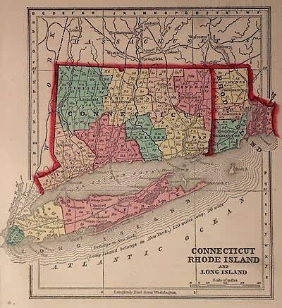
Connecticut, Rhode Island & Long Island
In stock
Art Source is proud to offer maps from the Diamond atlas by Samuel Gaston and Charles Morse. These are some of our favorite maps because of their small size. These maps are known for their bright water coloring that was in use during this time period. All maps are hand colored with steel engraving. Included in this unique map of Connecticut, Rhode Island, and Long Island are details of counties, railroads, and the Long Island Sound.
Size: 5.5 x 6.5 inches
Condition: Very Good
Map Maker: Samuel N. Gaston & Charles W. Morse
Coloring: Original Hand Coloring
Year: 1857
Condition: Very Good
Map Maker: Samuel N. Gaston & Charles W. Morse
Coloring: Original Hand Coloring
Year: 1857
In stock


