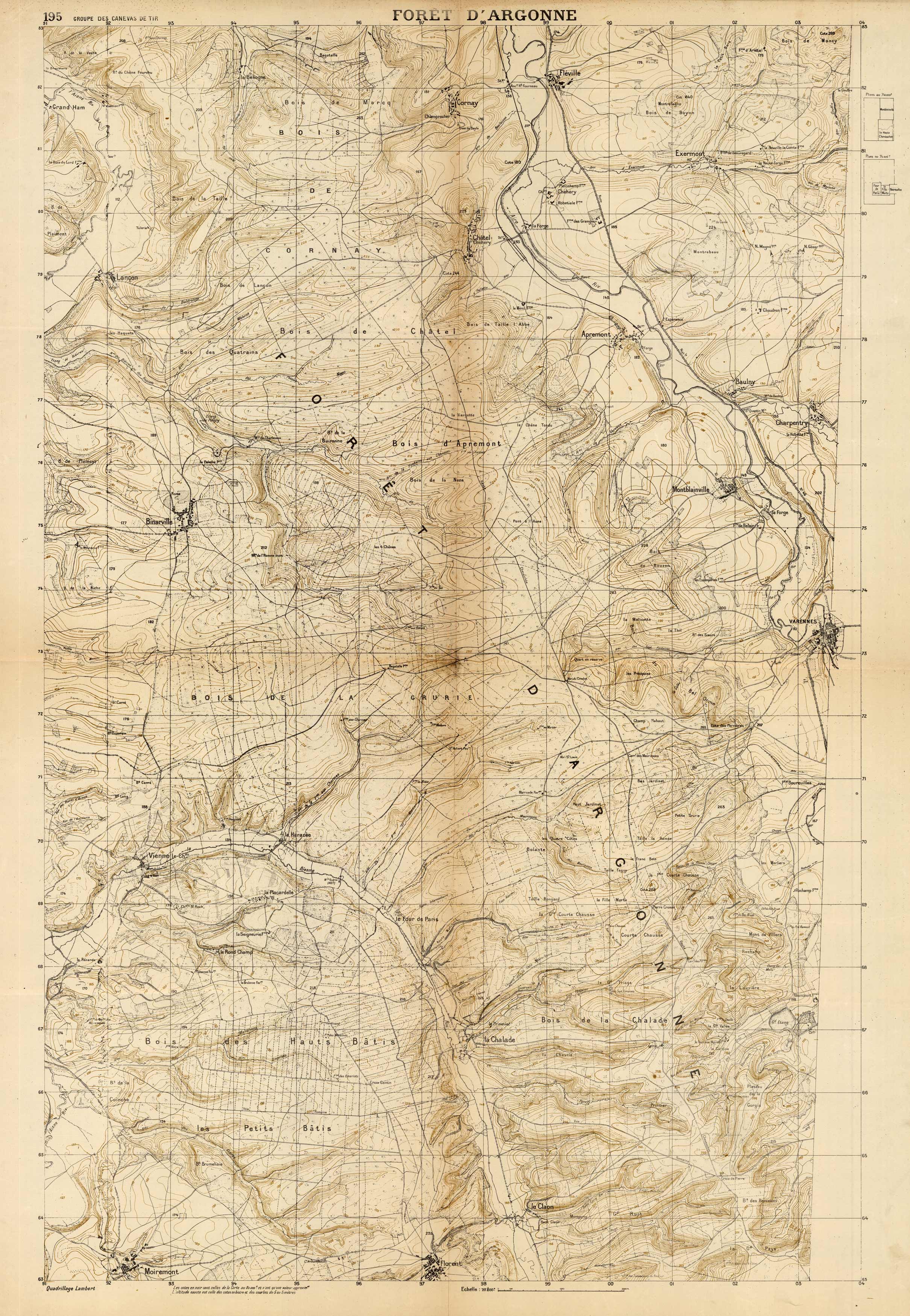
Foret DArgonne (Forest of Argonne, France)’
Out of stock
This unique french map of Foret DArgonne, France was created circa 1918. The Meuse-Argonne Offensive, also known as the Maas-Argonne Offensive and the Battle of the Argonne Forest, was a part of the final Allied offensive of World War I that stretched along the entire Western Front. It was fought from September 26, 1918, until the Armistice on November 11, a total of 47 days. The map shows details in French, including towns and cities, forests, and places of arms and artillery. Topographic and various geographic features are also shown on this map.
Size: 27 x 40.25 inches
Condition: Very Good, light age toning and folds
Map Maker: Groupe des Canevas de Tir
Coloring: Printed Color
Year: circa 1918
Condition: Very Good, light age toning and folds
Map Maker: Groupe des Canevas de Tir
Coloring: Printed Color
Year: circa 1918
Out of stock


