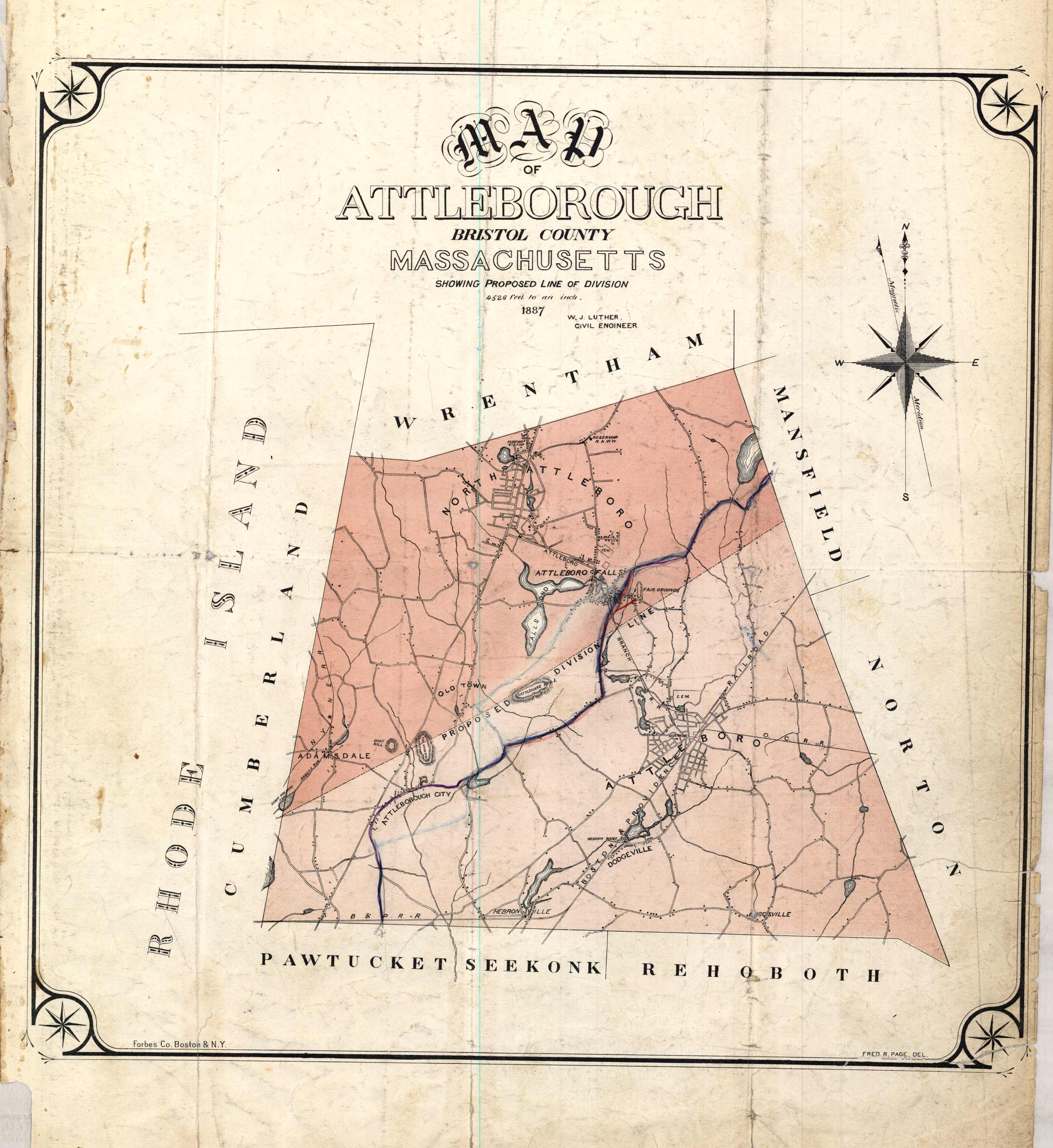
Map of Attleborough Bristol County Massachusetts
Out of stock
This 1891 map of Attleborough in Bristol county labels Attleborough City, Attleboro, Dodgeville, Hebronville, Luggsville, Adamsdale, Wrentham, Cumberland, Pawtucket, Seekonk, Rehoboth, and Norton. Other points of interest shown include the Boston & Providence Railroad, Rattlesnake Hill, Fair Grounds, a pumping station, and numerous ponds and reservoirs.
Size: 14 x 14 inches
Condition: Good, small paper loss in lower left corner and light foxing
Map Maker: Geo H. Walker & CO.
Coloring: Printed Color
Year: 1891
Condition: Good, small paper loss in lower left corner and light foxing
Map Maker: Geo H. Walker & CO.
Coloring: Printed Color
Year: 1891
Out of stock


