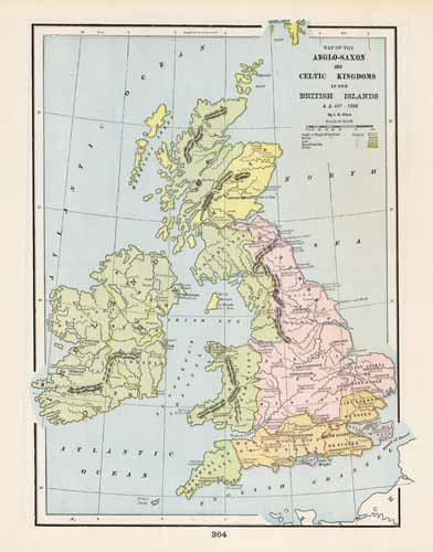
Map of the Anglo-Saxon and Celtic Kingdoms in the British Islands A.D. 457-1066
In stock
This colorful map came from Crams 1898 Universal Atlas -Geographical, Astronomical and Historical. In 1869 the George F. Cram Company was born and the Cram name quickly became synonymous with accuracy and innovation. This colorful map details the Anglo-Saxon and Celtic Kingdoms in the British Islands.
Size: 9 x 12.5 inches
Condition: Excellent
Map Maker: George F. Cram
Coloring: Printed Color
Year: 1898
Condition: Excellent
Map Maker: George F. Cram
Coloring: Printed Color
Year: 1898
In stock


