Wisconsin
In stock
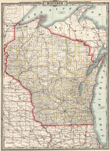
This detailed, well-maintained map of Wisconsin was issued in George F. Crams “Standard American Atlas” in 1884. Cram identifies myriad finished and unfinished railroad lines and township lines within the state. The map also painstakingly marks numerous rivers, lighthouses, mountains, mills, sand dunes, light houses, military reservations, Native American reservations, lakes, bays, towns, springs, mines, and more. Some notes on Lake Superior are shown. An insightful glimpse of this state in 1884!’
Size: 16 x 22 inches
Condition: Excellent
Map Maker: George F. Cram
Coloring: Printed Color
Year: 1884
Condition: Excellent
Map Maker: George F. Cram
Coloring: Printed Color
Year: 1884
In stock


