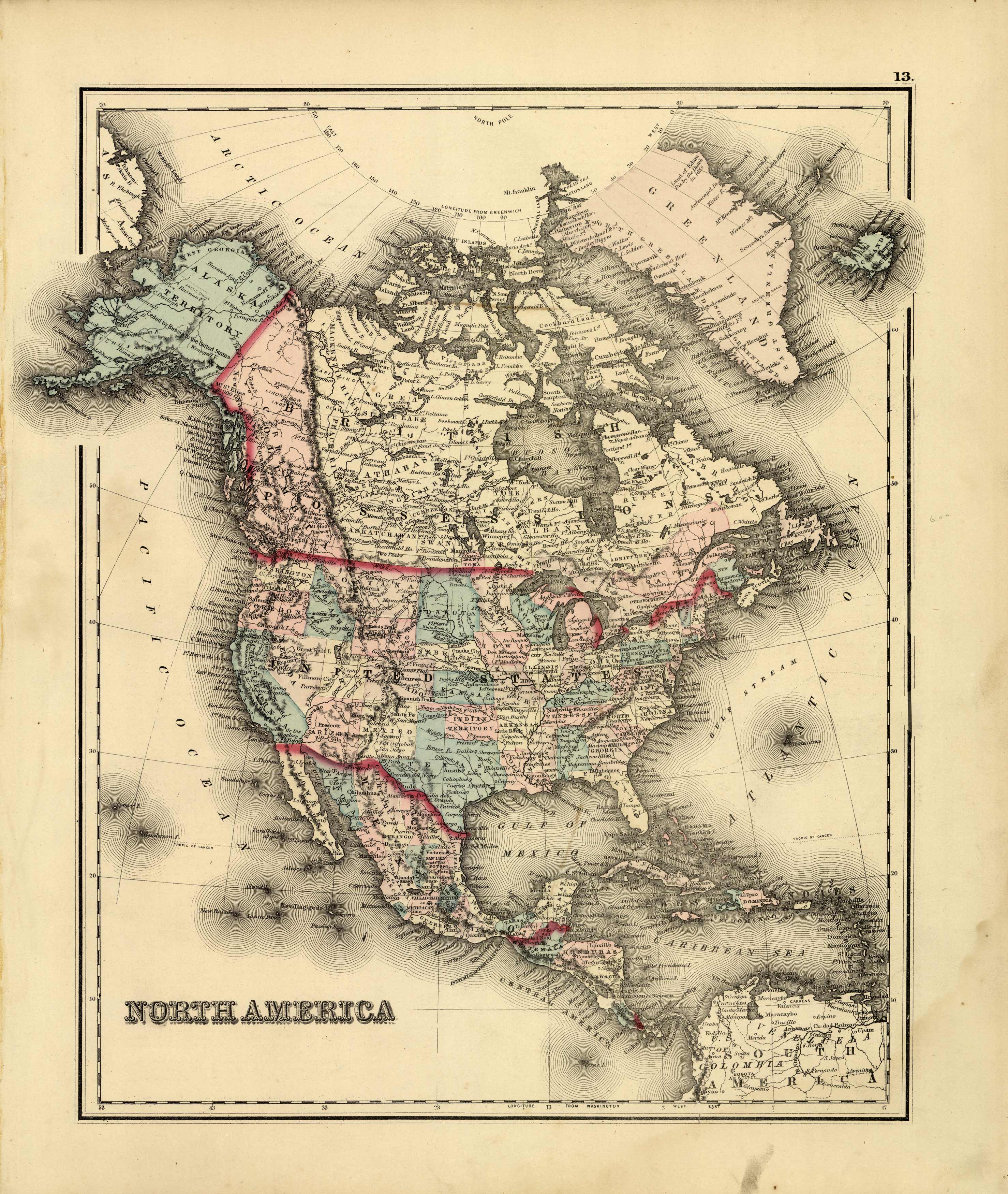
North America
In stock
This hand colored map is from “The National Atlas, containing Elaborate Topographical Maps of the United States and the Dominion of Canada, with Plans of Cities and General Maps of the World”, published by O.W. Gray in 1880.
Size: 13 x 15.25 inches
Condition: Very Good - minor staining in margins
Map Maker: O.W. Gray & Son
Coloring: Original Hand Color
Year: 1880
Condition: Very Good - minor staining in margins
Map Maker: O.W. Gray & Son
Coloring: Original Hand Color
Year: 1880
In stock


