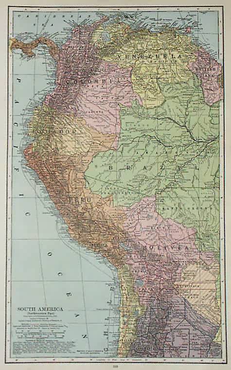
South America (Northwestern Part)
In stock
This map was made for C.S Hammond’s World Atlas in 1936. Machine coloring, primarily in pastels, along with fine detailing and a simple border are among the features of Hammond’s maps. Most maps included in this atlas collection illustrate capitals, boundaries, major cities, towns, and transportation details, such as canals, railroads and steam ship routes. Maps from this pre World War II time period are difficult to find.
Size: 10 x 15 inches
Condition: Very Good
Map Maker: C.S Hammond Co.
Coloring: Machine Coloring
Year: 1936
Condition: Very Good
Map Maker: C.S Hammond Co.
Coloring: Machine Coloring
Year: 1936
In stock


