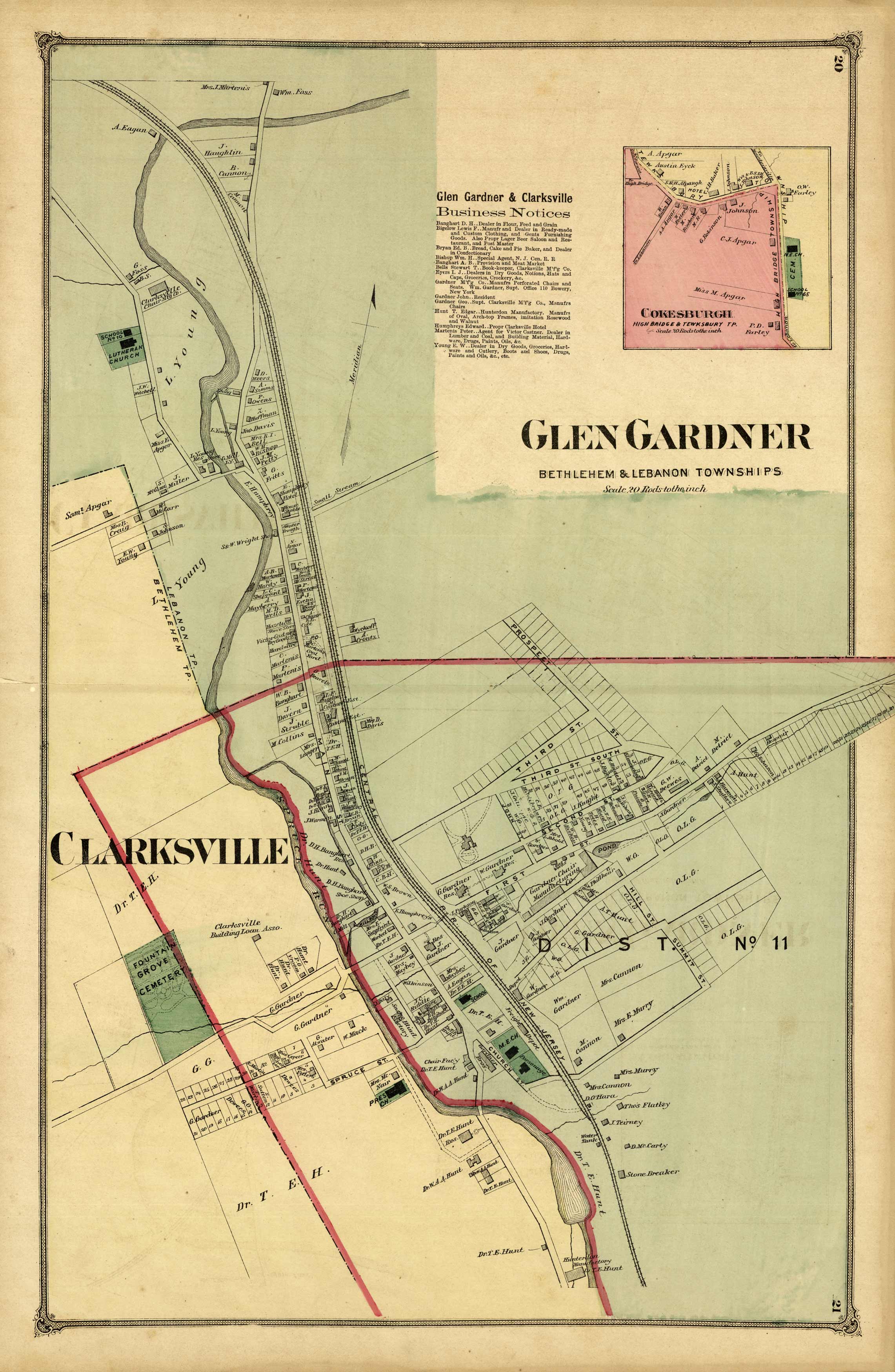
Glen Gardner / Clarksville
In stock
This hand-colored and detailed map is from the “Atlas of Hunterdon Co., New Jersey”, published in 1873 by Beers, Comstock, & Cline. It was compiled under the superintendence of F.W. Beers from “recent and actual surveys and records”. This map gives a very interesting glimpse of Hunterdon County almost 130 years ago.
Size: 15 x 22.5 inches
Condition: Very Good
Map Maker: F.W. Beers
Coloring: Original Hand Color
Year: 1873
Condition: Very Good
Map Maker: F.W. Beers
Coloring: Original Hand Color
Year: 1873
In stock


