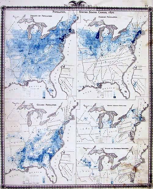
Population, United States Census, 1870
In stock
This map is from A.T. Andreas” Illustrated Historical Atlas of the State of Iowa, printed in 1875. Showing us the ethnic makeup and distribution of the peoples at the time, this atlas page includes Density of Population, Foreign Population, Colored Population, British American Population, and Swedish and Norwegian Populations. Great for reference or decoration.
Size: 13 x 17 inches
Condition: Good
Map Maker: A. T. Andreas
Coloring: Lithographic Coloring
Year: 1875
Condition: Good
Map Maker: A. T. Andreas
Coloring: Lithographic Coloring
Year: 1875
In stock


