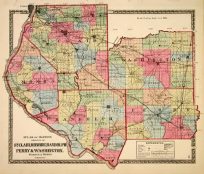
Johnsons Washington, Oregon and Idaho Territory’
In stock
Near the forefront of the atlas publication industry for a quartercentury was mapmaker and aggressive marketer Alvin JewittJohnson. Around 1860, in a transaction that remains somewhatmysterious, Johnson acquired a set of detailed plates fromJ.H. Colton, one of the foremost mapmakers of the century, andused them to print the Johnson atlas that was to find its way intohomes across the country. Johnsons New Illustrated FamilyAtlas was first published in 1860, and today these maps havebecome prized collectibles and true works of cartographic art.The attention to detail and fine hand coloring of these mapsmake them some of the best collectibles maps from the 19thcentury. This signal page map illustrates the states of Washington, Oregon and Idaho Territory, as well as part of Dakota territory. Counties, cities, towns, rail roads, common roads, canals, and topographical features are noted. Great detail and coloring!’
Condition: Very Good
Map Maker: Johnson and Ward
Coloring: Original Hand Coloring
Year: 1864
In stock


