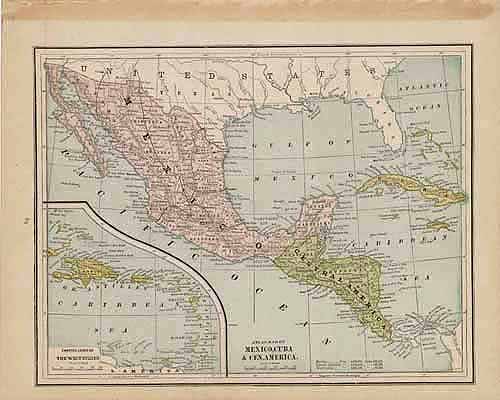
Map of Mexico, Cuba and Central America
In stock
This detailed map of Mexico, Cuba and Central America was printed in the “Peoples Family Atlas of the World,” published in 1887. This map shows a great deal of useful information, including lakes, rivers and railroad lines.
Size: 11.5 x 9 inches
Condition: Very Good
Map Maker: Peoples Publishing Co.'
Coloring: Printed Color
Year: 1887
Condition: Very Good
Map Maker: Peoples Publishing Co.'
Coloring: Printed Color
Year: 1887
In stock


