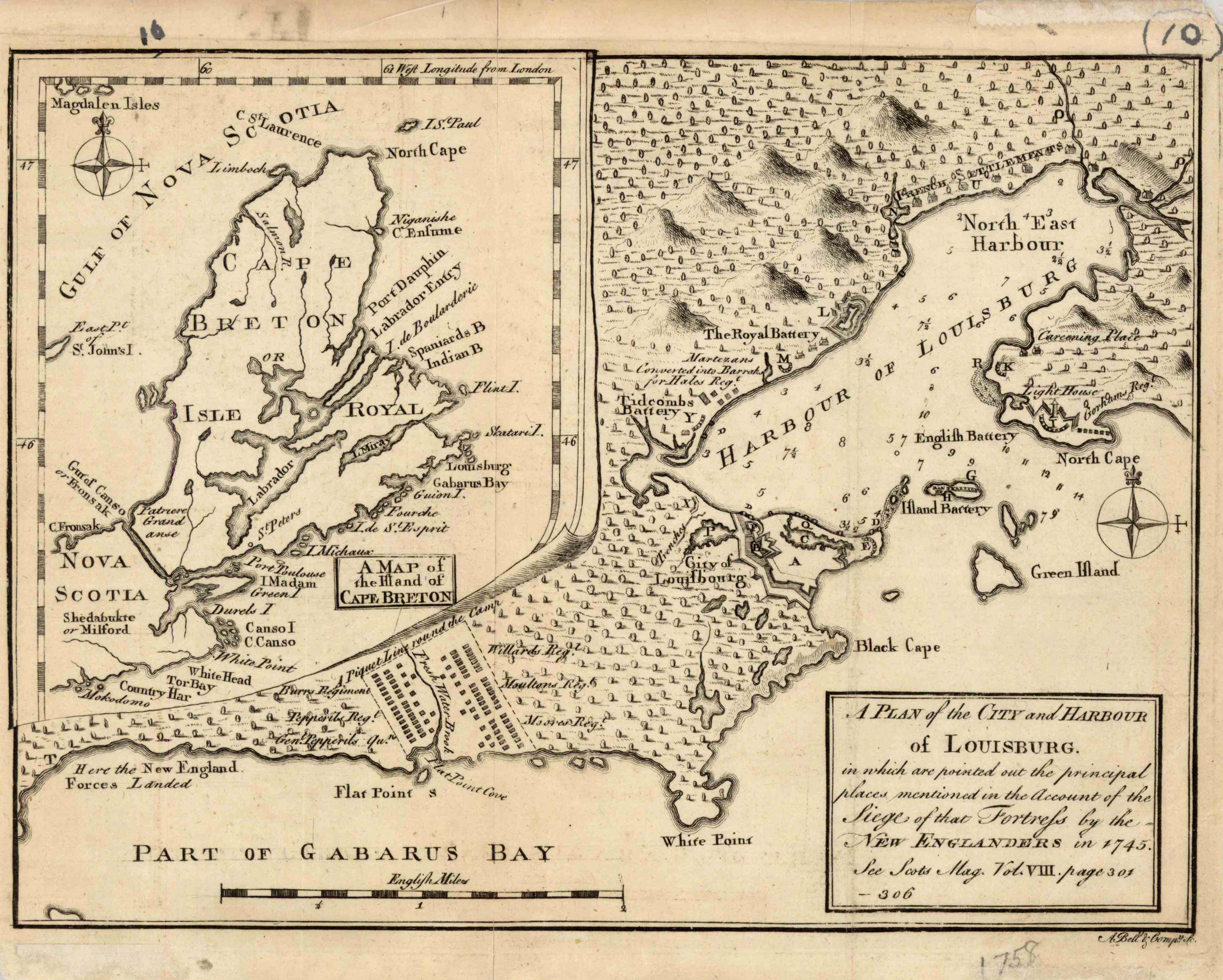
A Plan of the City and Harbour of Louisburg showing siege of the fortress by the New Englanders in 1745 / A Map of the Island of Cape Breton
In stock
A very rare map. We found no record of this map having been listed by dealers in the last 25 years.
Size: 9.5 x 7.5 inches
Condition: Very Good - staining, ink in margins
Map Maker: Scots Magazine
Coloring: Printed B&W
Year: 1758
Condition: Very Good - staining, ink in margins
Map Maker: Scots Magazine
Coloring: Printed B&W
Year: 1758
In stock


