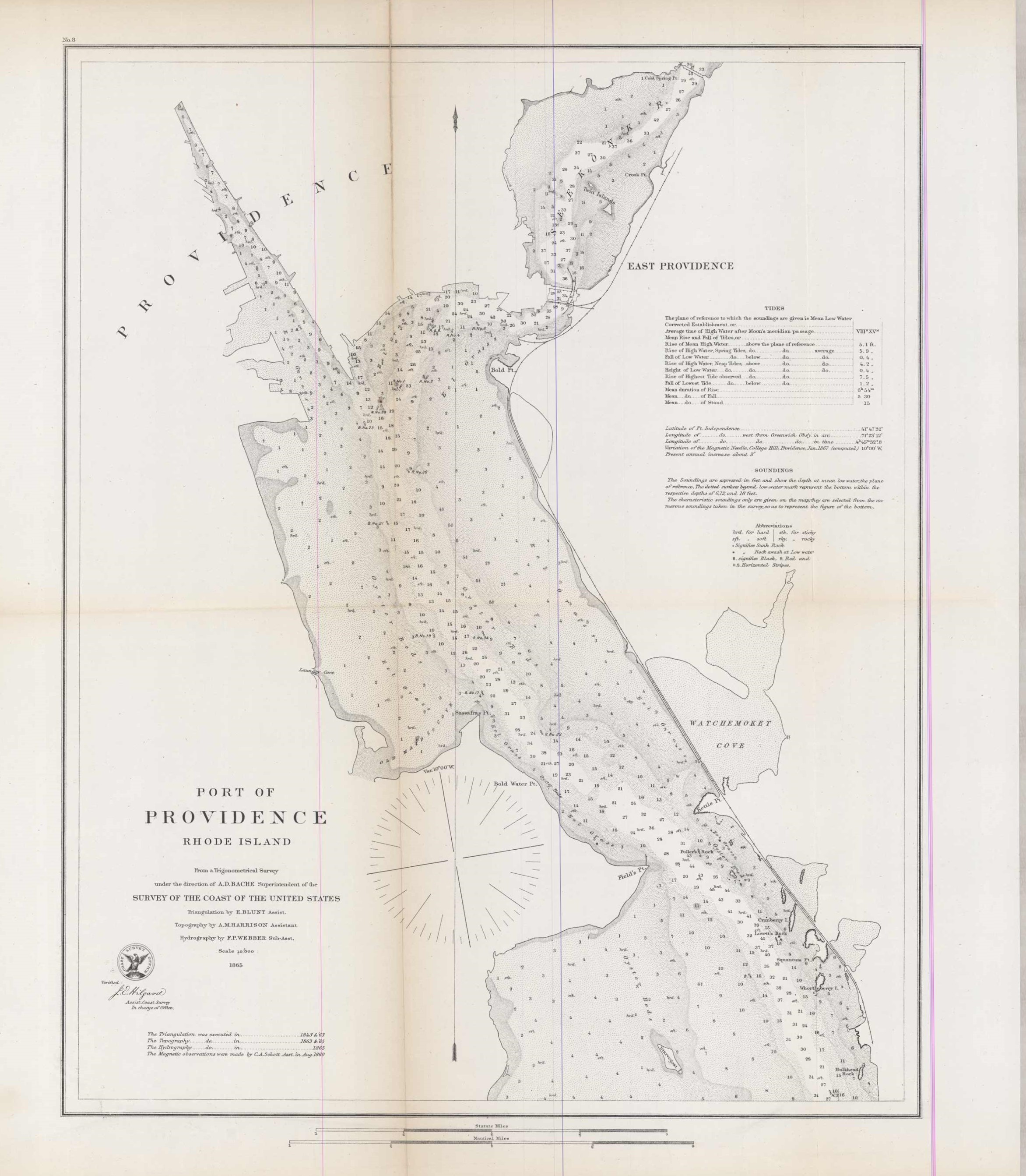
Port of Providence Rhode Island
In stock
This 1865 map of Providence, Rhode Island extends as far north as East Providence, as far south as Starvegoat Island, as far east as Watchemoket Cove, and as far west as Providence. The map contains information on soundings, tides, oyster bed locations, and lighthouses. Whats present-day Corliss and Sassafras Cove was called Old Maid’s Cove. Points that are no longer labeled on present-day maps include Lovett’s Rock, Laundry Cove, Whortleberry Island, and Fuller’s Rock. The Gingerbread and Pancake Islands are referred to as Twin Island. Cranberry Island and Squantum’s Point are shown. The map also shows a Starvegoat Island that currently corresponds to Save the Bay. ‘
Size: 15 x 19 inches
Condition: Excellent
Map Maker: U.S. Coast Survey Office
Coloring: Black and White
Year: 1865
Condition: Excellent
Map Maker: U.S. Coast Survey Office
Coloring: Black and White
Year: 1865
In stock


