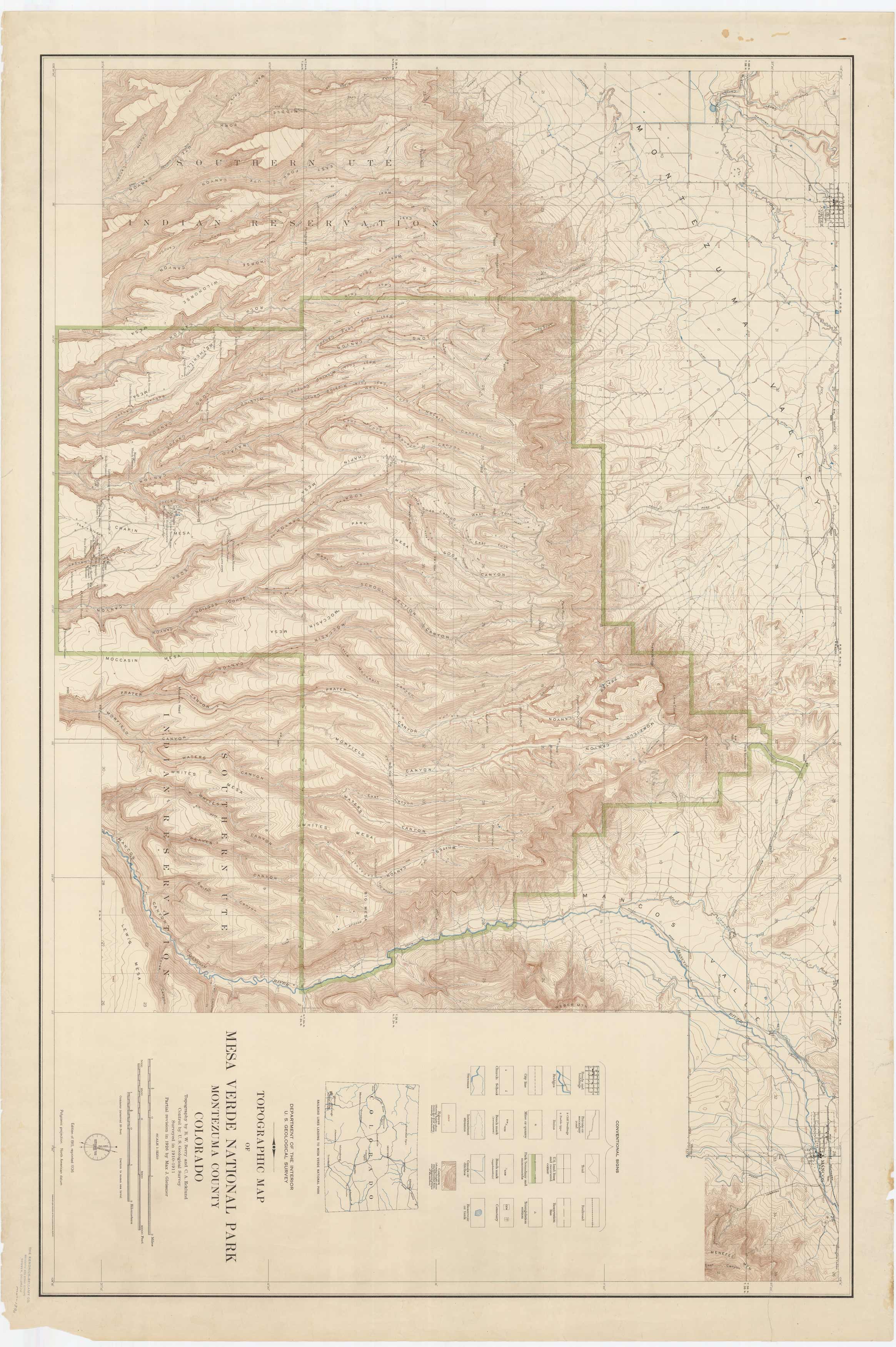
Topographic Map of Mesa Verde National Park – Montezuma County, Colorado
Out of stock
This detailed and colorful topographic map of Mesa Verde National Park was published in 1936 by the United States Geological Survey.
Size: 43.5 x 28.5 inches
Condition: Good - staining, creasing, tearing, esp. in margins
Map Maker: U.S. Geological Survey
Coloring: Printed Color
Year: 1936
Condition: Good - staining, creasing, tearing, esp. in margins
Map Maker: U.S. Geological Survey
Coloring: Printed Color
Year: 1936
Out of stock


