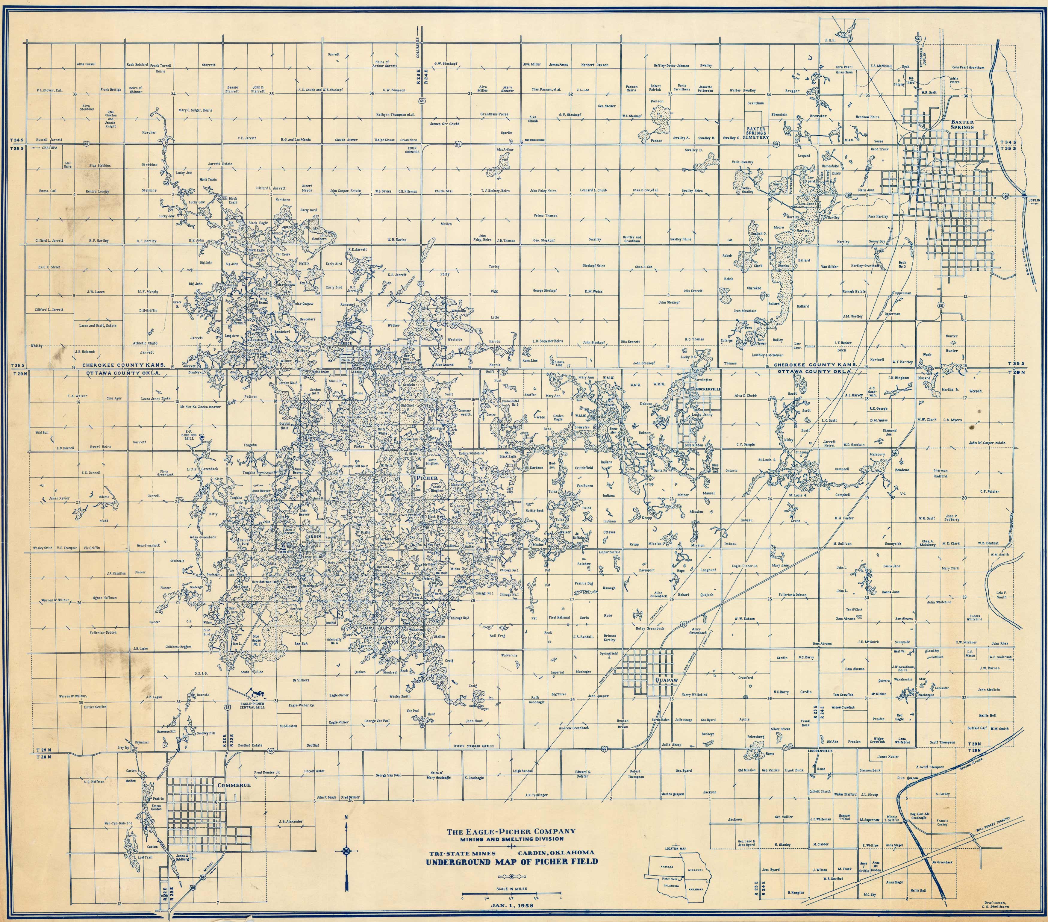
Tri-State Mines – Cardin, Oklahoma – Underground Map of Picher Field
Out of stock
The Mining and Smelting Division of the Eagle-Picher Company produced this map in 1958. It shows the Tri-State Mines near Cardin, OK, and underground map of Picher Field.
Size: 24 x 21 inches
Condition: Very Good
Map Maker: C.G. Shellhorn, The Eagle-Picher Company - Mining and Smelting Division
Coloring: Printed Color
Year: 1958
Condition: Very Good
Map Maker: C.G. Shellhorn, The Eagle-Picher Company - Mining and Smelting Division
Coloring: Printed Color
Year: 1958
Out of stock


