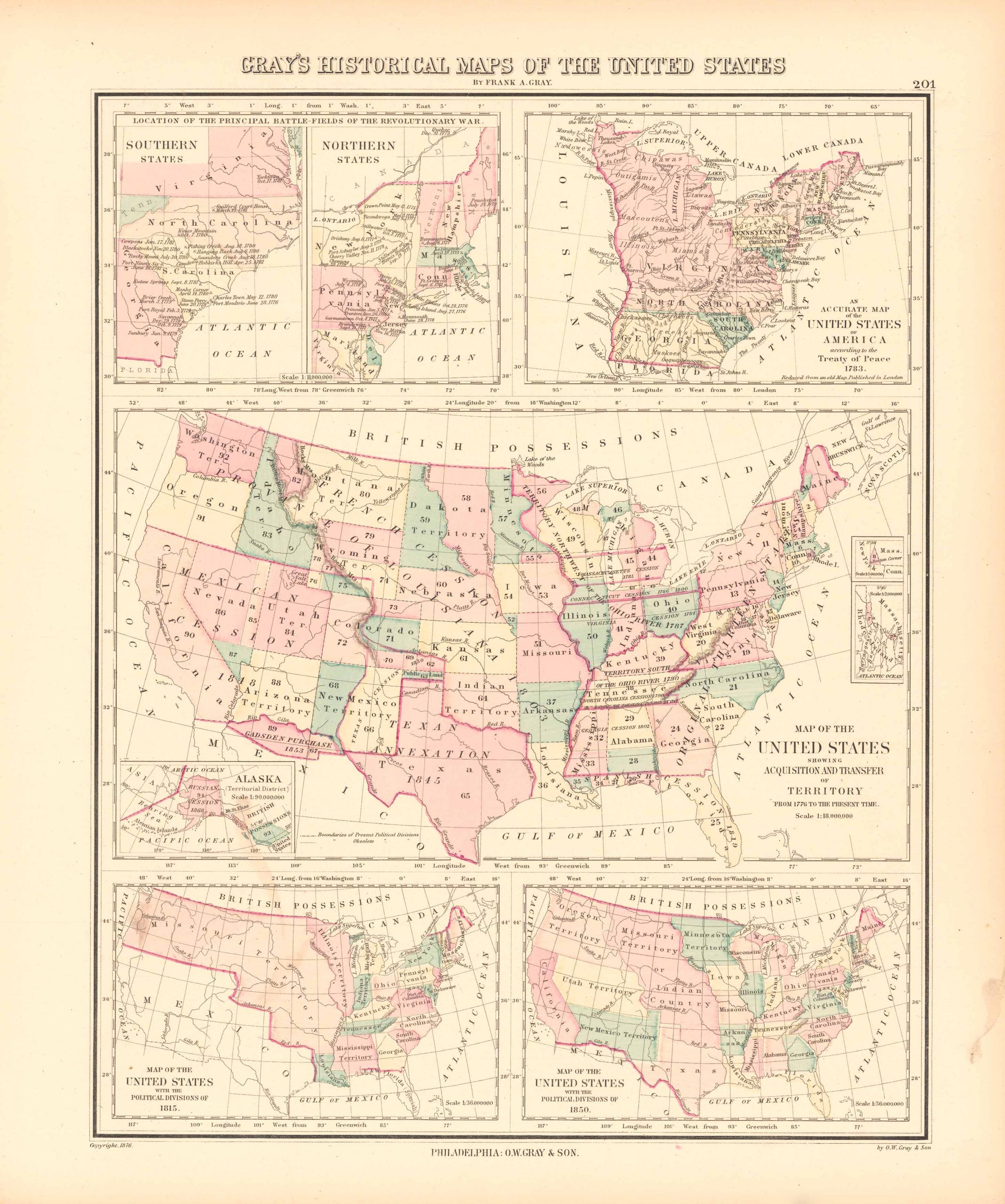
Historical Maps of the United States
In stock
This hand colored map was published by O.W. Gray in 1879. This Historical Maps of the United States is illustrated on this map. Details include counties distinguished by vibrant pastel color, waterways, railroads, and the names of important cities. This map is remarkably well preserved with exceptionally bright hand-coloring.
Size: 12 x 15 inches
Condition: Excellent Condition
Map Maker: O.W. Gray
Coloring: Hand Colored Steel Engraving
Year: 1879
Condition: Excellent Condition
Map Maker: O.W. Gray
Coloring: Hand Colored Steel Engraving
Year: 1879
In stock


