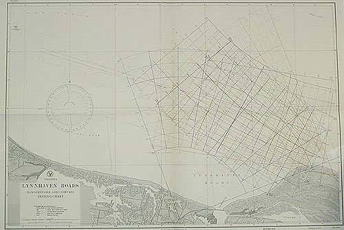
Virginia Lynnhaven Roads Rangefinder and Compass Testing Chart
In stock
This coastal survey was stamped as completed May 1942 by the U.S. Hydrographic department in Washington D.C. This is a range finder and compass chart, true bearings and distances are illustrated in colored lines. Note stamped on the map reads: “Caution: Vessels should not use this chart for navigational purposes” Also stamped “restricted”. Nearby railroads, cities and topographical features are included.
Size: 43 x 29 inches
Condition: Excellent
Map Maker: U.S Hydrographic Office
Coloring: Machine Coloring
Year: 1942
Condition: Excellent
Map Maker: U.S Hydrographic Office
Coloring: Machine Coloring
Year: 1942
In stock


