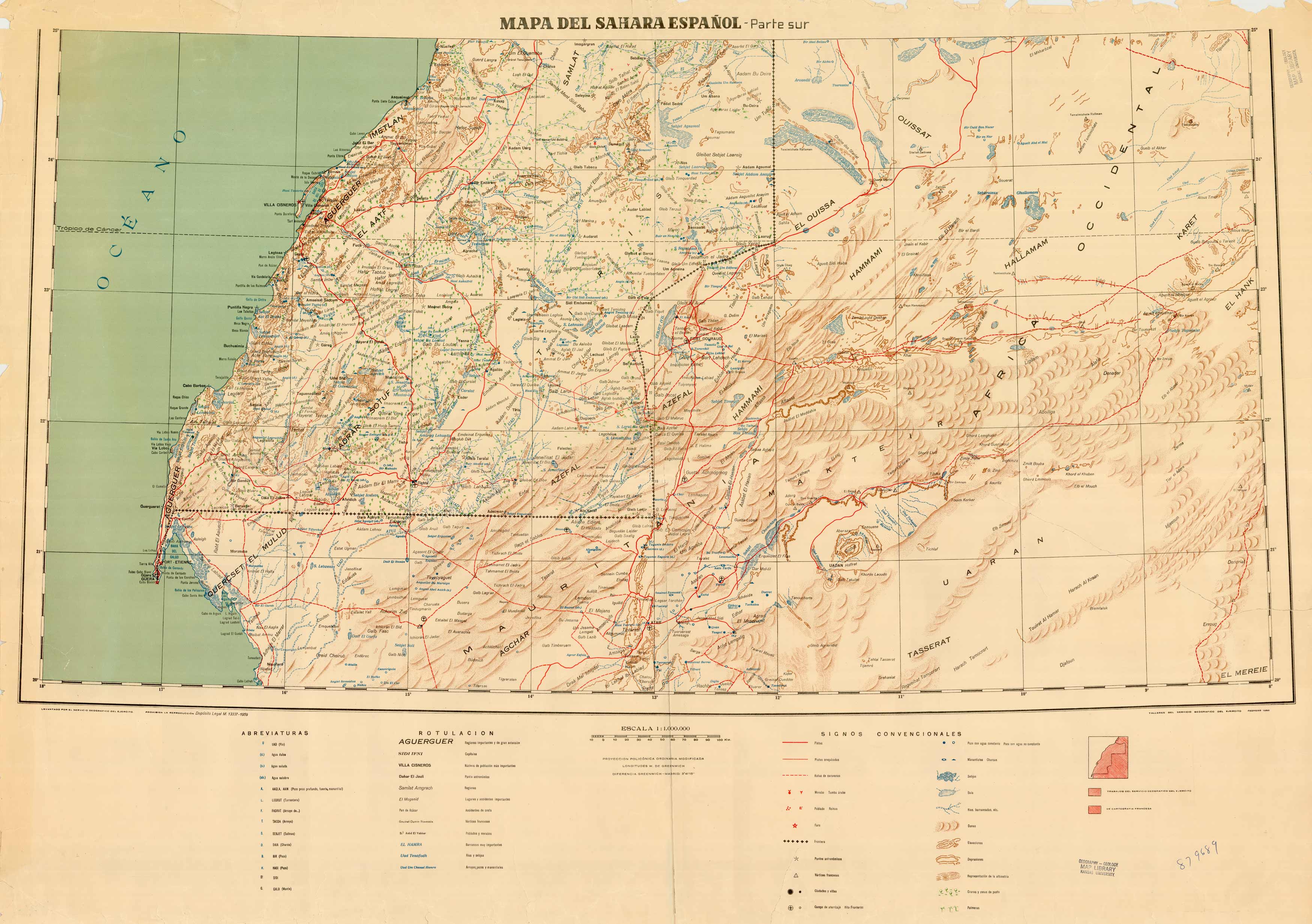
Mapa Del Sahara Espanol (Western Sahara – Mauritania)
In stock
Printed by the Army Geographical Service of Spain in 1959, this map depicts the territories Mauritania and Western Sahara. Western Sahara has been on the United Nations list of Non-Self-Governing Territories since the 1960s when it was a Spanish colony. Geological features such as Lakes, rivers, coastal towns and roads are shown.
Size: 42.5 x 30 inches
Condition: Excellent Condition
Map Maker: Army Geographical Service of Spain
Coloring: Printed Color
Year: 1959
Condition: Excellent Condition
Map Maker: Army Geographical Service of Spain
Coloring: Printed Color
Year: 1959
In stock


