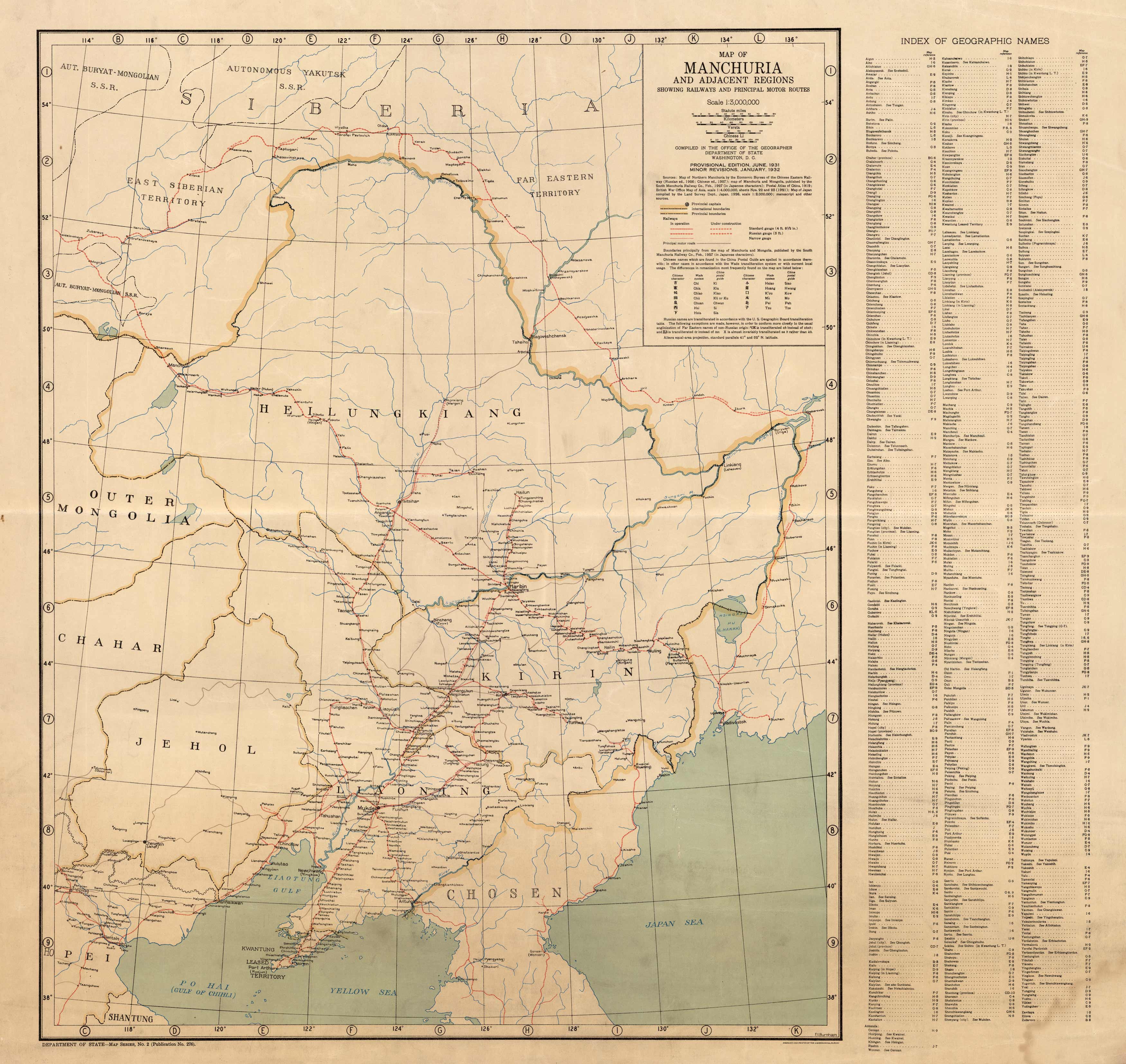
Map of Manchuria and Adjacent Regions Showing Railways and Principal Motor Routes
Out of stock
This unique historical map of Manchuria and Adjacent Regions Showing Railways and Principal Motor Routes was created in 1932 by the U.S. Geological Survey. “Manchuria” is the historic name of Northeast Asia, comprising China and Russia. The region is now usually referred to as Northeast China, although “Manchuria” is widely used outside of China to denote different geographical and historical regions. Details on this map include regions, cities, provincial capitals, international and provincial boundaries, railways that are both in operation and under construction, principal motor roads, and various geographic features.
Size: 27.5 x 26.5 inches
Condition: Good, light age toning and light stains
Map Maker: U.S. Geological Survey
Coloring: Printed Color
Year: 1932
Condition: Good, light age toning and light stains
Map Maker: U.S. Geological Survey
Coloring: Printed Color
Year: 1932
Out of stock


