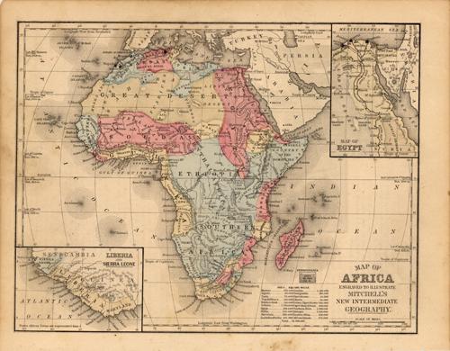
Map of Africa
Out of stock
This map is from Warrens Common-School Geography, printed in 1887. Africa is illustrated on this map. Two insets show the northern section of Egypt and Liberia and Sierra Leone at a grater scale than the main map. Details include the names of countries and important cities, rail lines, deserts, major lakes, and rivers.
Size: 11.25 x 9 inches
Condition: Very Good
Map Maker: Warren
Coloring: Original Hand Coloring
Year: 1887
Condition: Very Good
Map Maker: Warren
Coloring: Original Hand Coloring
Year: 1887
Out of stock


