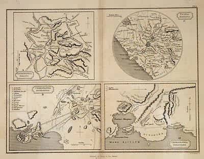
Chorographa Romana/ Vicinia Romana/ Chorographia Athentensis/ Chorographia Syracusana
In stock
This beautiful antique map of the ancient world was folded at center as issued in the Atlas of Ancient Geography by Samuel Butler. These maps portray mountain ranges, rivers, cities, other boundaries and more.
Size: 9.5 x 7.5 inches
Condition: Very Good, minor repaired tear on center fold
Map Maker: Samuel Butler
Coloring: Original Hand Color
Year: 1841
Condition: Very Good, minor repaired tear on center fold
Map Maker: Samuel Butler
Coloring: Original Hand Color
Year: 1841
In stock


