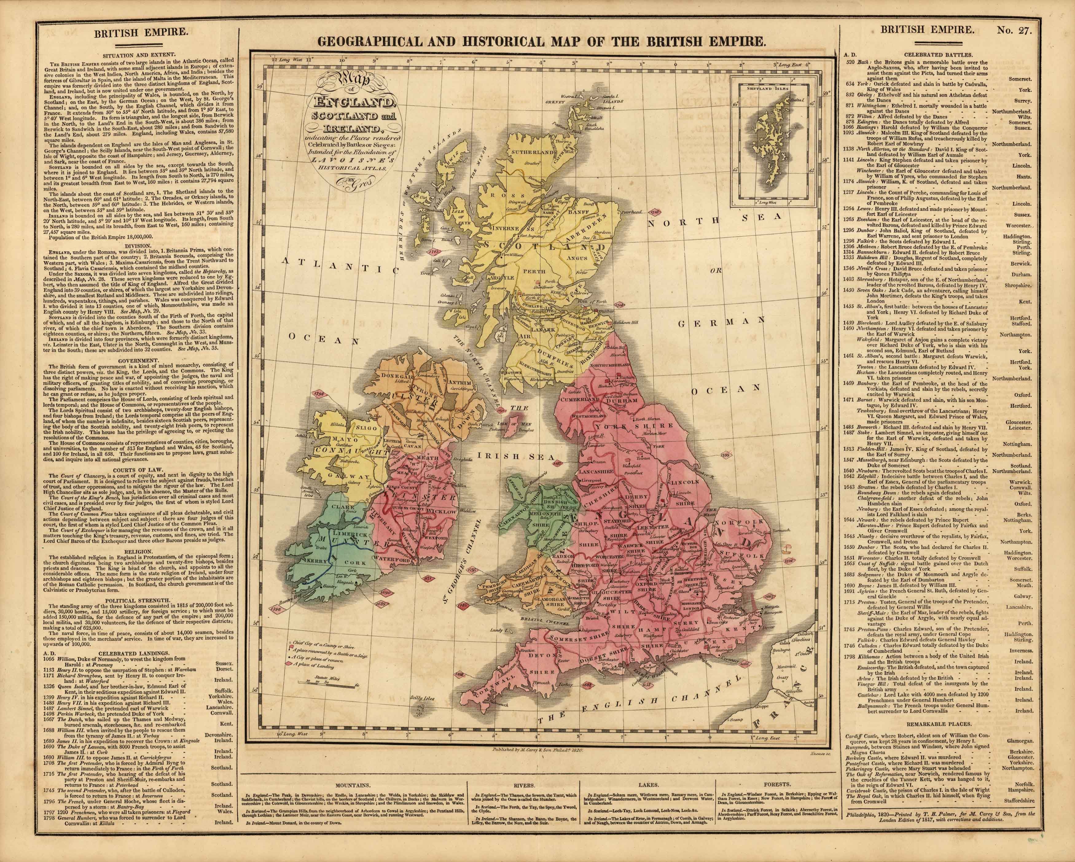
Geographical and Historical Map of the British Empire
In stock
This beautiful and historical map of the British Empire came from M. Lavoisne’s Genealogical Historical Chronological and Geographical Atlas. The maps detail England, Ireland, and Scotland. Besides the maps is important textual information on the geography, culture, and history of the area.
Size: 20.25 x 16.5 inches
Condition: Very Good
Map Maker: M. Lavoisne
Coloring: Original hand color
Year: 1820
Condition: Very Good
Map Maker: M. Lavoisne
Coloring: Original hand color
Year: 1820
In stock


