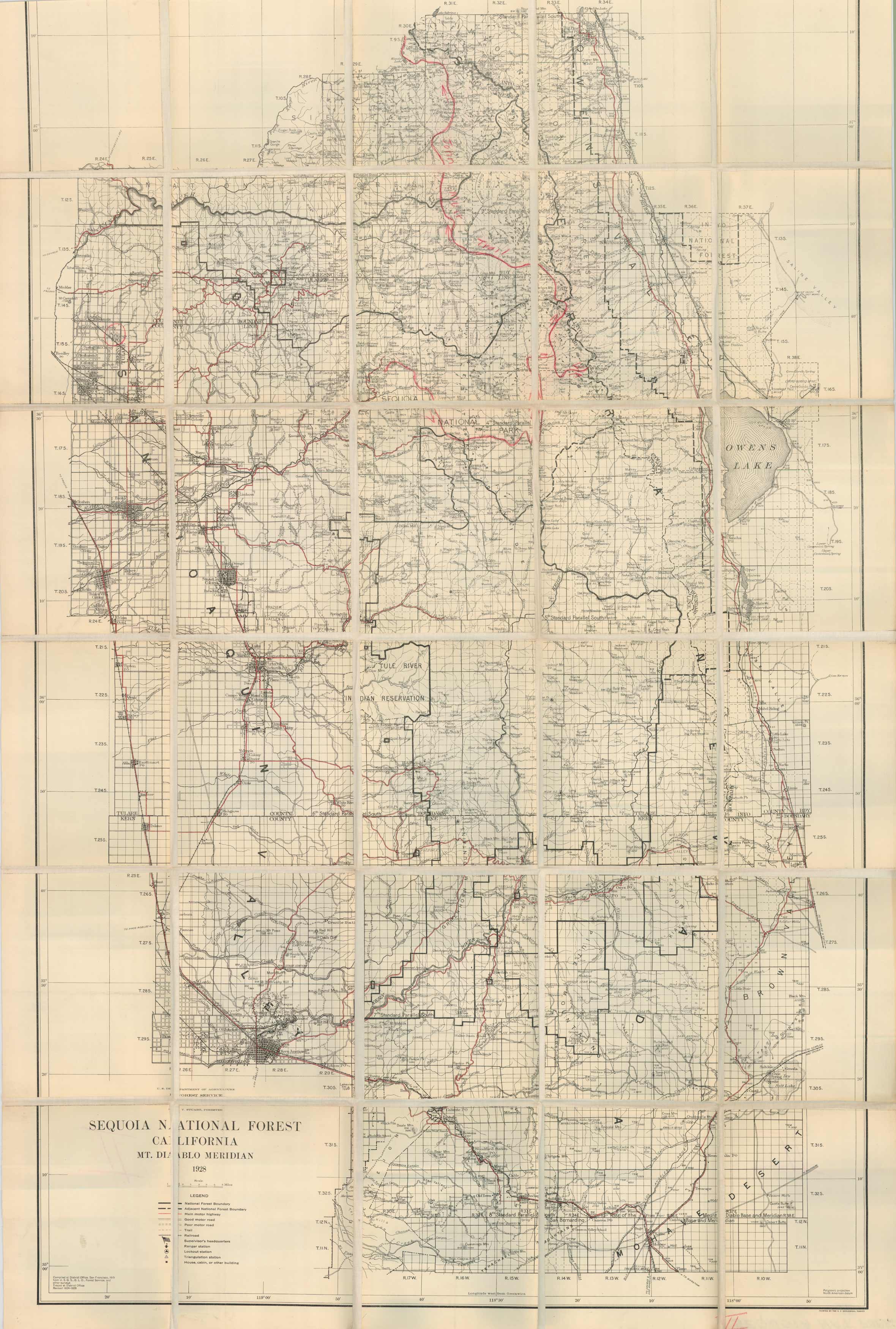
California – Sequoia National Forest – Mt. Diablo Meridian
Out of stock
Compiled at the District Office, San Francisco from U.S.G.S.,G.L.O., Forest Service, this topographic map of the Sequoia National Forests Mount Diablo Meridian has been mounted on linen for ease of use while on the trail. Illustrated are the topographical features such as, lakes, rivers, townships, roads and mountains. Hand drawn is the John Muir Trail (from Panther Peak to Mt Fiske). This map is on it’s original linen mount.
Size: 1 x 1 inches
Condition: Good - age toning
Map Maker: United States Department of Agriculture - Forest Service
Coloring: Printed Color w/ Hand drawn routes and info
Year: 1928
Condition: Good - age toning
Map Maker: United States Department of Agriculture - Forest Service
Coloring: Printed Color w/ Hand drawn routes and info
Year: 1928
Out of stock


