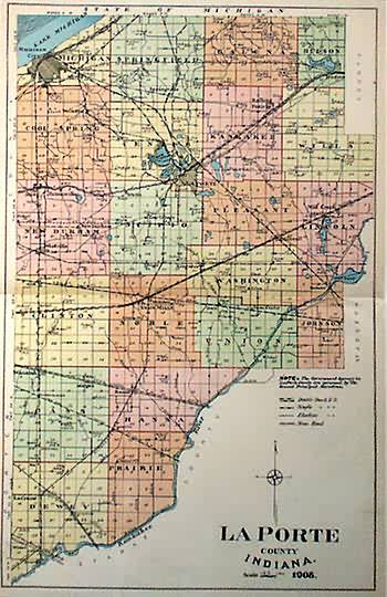
La Porte County, Indiana
Out of stock
La Port County, Indiana is illustrated on this double page map made in 1908 for the La Port County Atlas. Counties are distinguished by pastel coloring. Rivers and lakes are colored blue and identified by name. Other details include identification of counties, many towns, railroad lines, and many public roads.
Size: 13 x 20.25 inches
Condition: Very Good-age toning
Map Maker: La Porte County Atlas
Coloring: Machine Color
Year: 1908
Condition: Very Good-age toning
Map Maker: La Porte County Atlas
Coloring: Machine Color
Year: 1908
Out of stock


