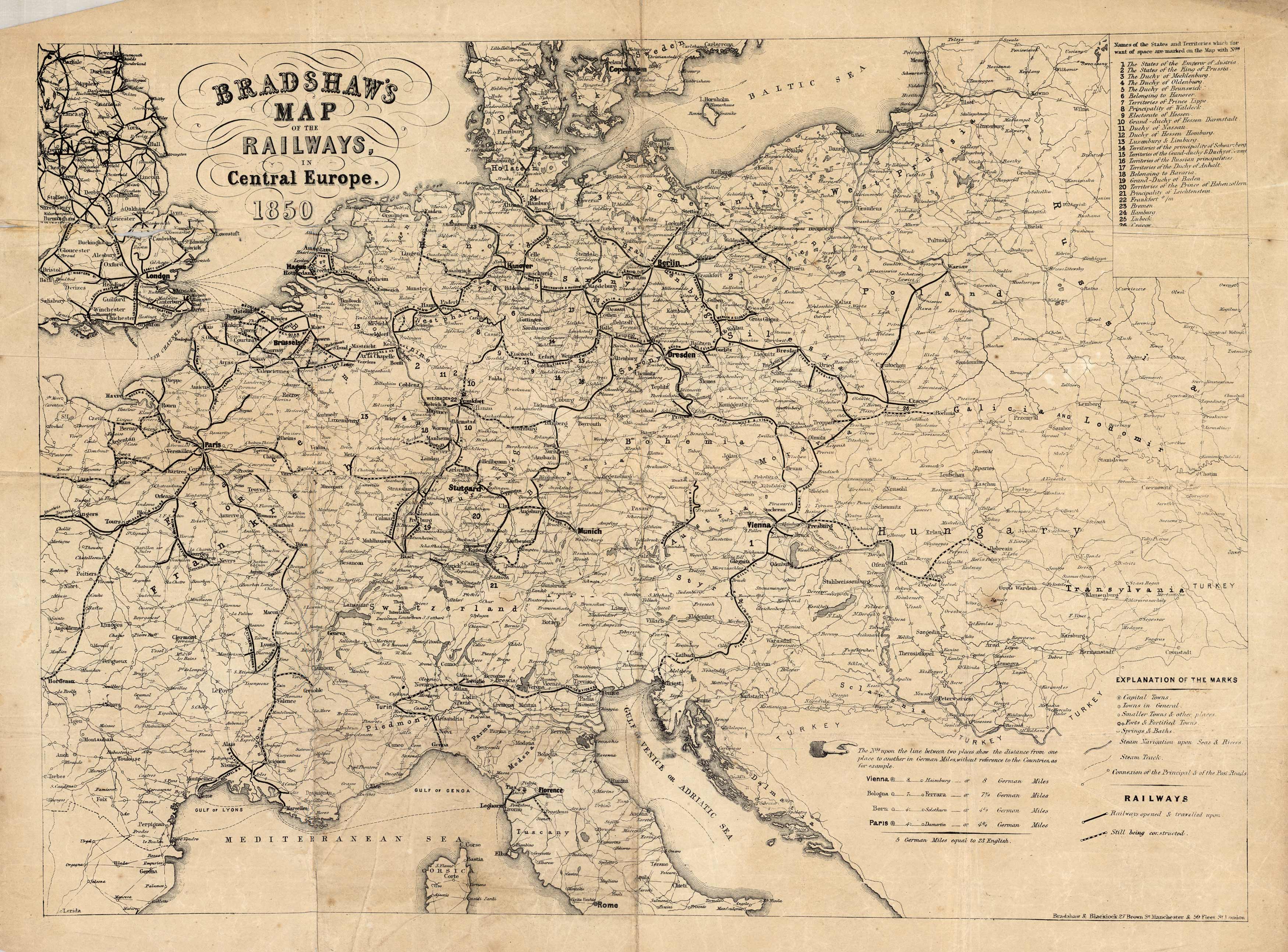
Bradshaws Map of the Railways, in Central Europe. 1850′
Out of stock
This is a unique and detailed map of railways in Central Europe in 1850. Details include countries, cities, towns, railroads that were finished and still being constructed, steam navigation, distances between a few cities in German miles, and various geographic features.
Size: 20.5 x 15 inches
Condition: Good, age toning and foxing, fragile paper, repaired tears along folds
Map Maker: Bradshaw & Blacklock
Coloring: Black & White
Year: 1850
Condition: Good, age toning and foxing, fragile paper, repaired tears along folds
Map Maker: Bradshaw & Blacklock
Coloring: Black & White
Year: 1850
Out of stock


