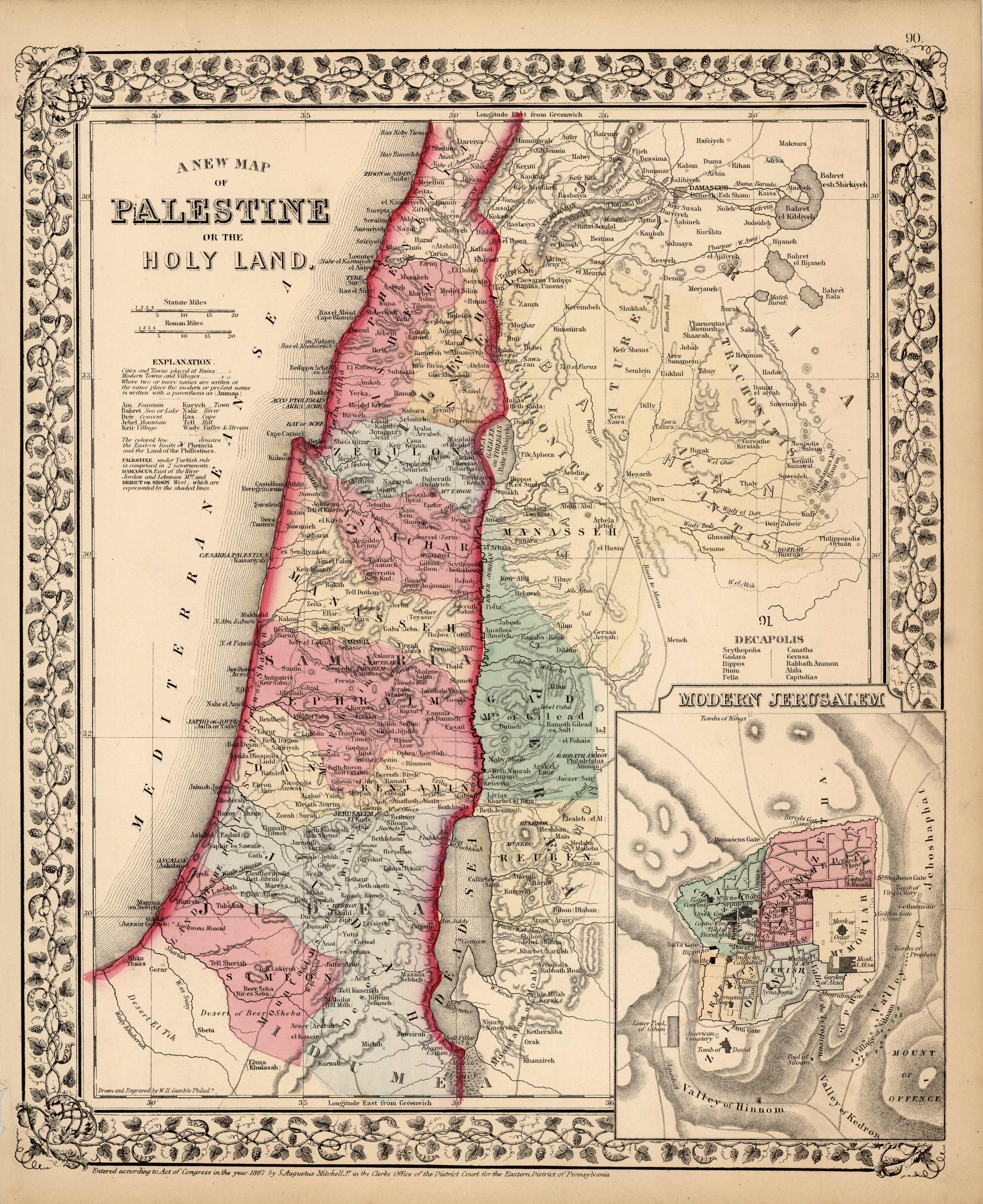
A New Map of Palestine or the Holy Land
In stock
S. Augustus Mitchell,Jr. made this hand colored map for Mitchells New General Atlas in 1870. Palestine is illustrated on this map. An inset shows modern Jerusalem at a greater scale than the main map. Regions are distinguished by bright pastel colors. An inset shows the Holy Land at a greater scale than the main map. Deserts, lakes, mountains, rivers, important cities and countries are identified.
Size: 11.5 x 14 inches
Condition: Very Good-age toning
Map Maker: S. Augustus Mitchell
Coloring: Original Hand Color
Year: 1870
Condition: Very Good-age toning
Map Maker: S. Augustus Mitchell
Coloring: Original Hand Color
Year: 1870
In stock


