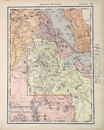
Abyssinia and Surrounding Countries
Out of stock
This map came from Rand McNally’s Universal Atlas printed in 1895. This is a detailed map of Abyssinia and surrounding countries. Major cities, rail lines and rivers are shown. Countries are distinguished by yellow, red, orange and blue..
Size: 12.5 x 9.25 inches
Condition: Very Good
Map Maker: Rand McNally
Coloring: Machine Color
Year: 1895
Condition: Very Good
Map Maker: Rand McNally
Coloring: Machine Color
Year: 1895
Out of stock


