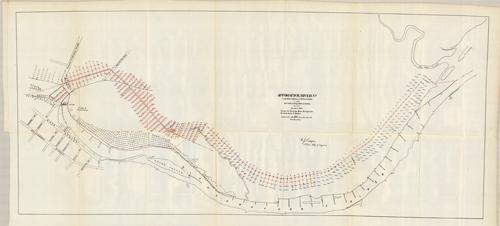
Appomattox River, VA Project for Turning River Through Low Grounds back to Roslyn
In stock
We are proud to offer this “hard to find” map issued by the U.S. Government, Department of War. Normally Government produced maps of this time period show the wear of age, but this map is in “Mint” condition. Much detail for the time period.
Size: 31 x 13.25 inches
Condition: Excellent Condition
Map Maker: U.S. Corps of Engineers
Coloring: Black and White
Year: 1889
Condition: Excellent Condition
Map Maker: U.S. Corps of Engineers
Coloring: Black and White
Year: 1889
In stock


