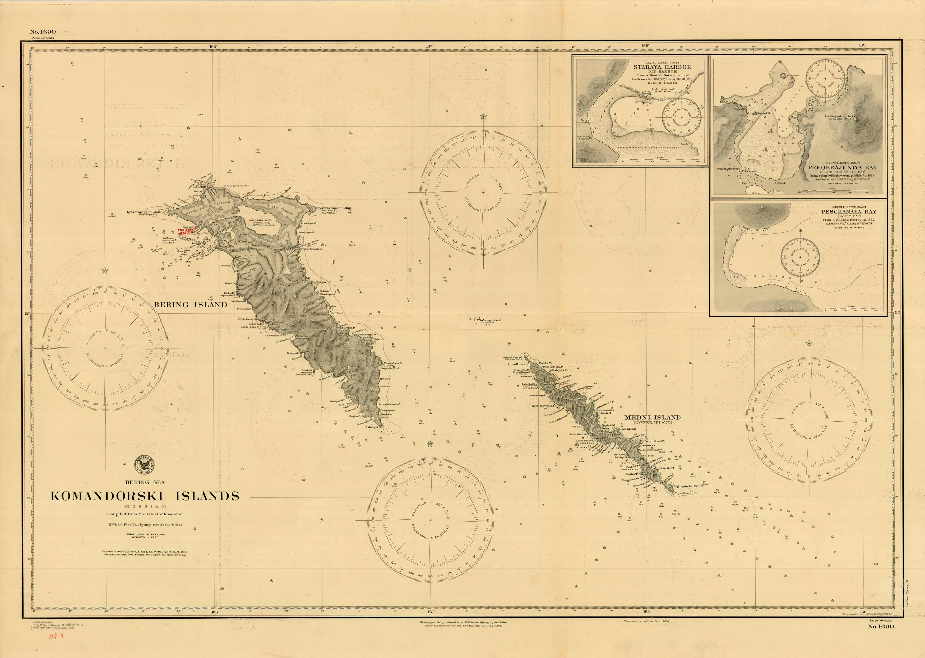
Bering Sea – Komandorski Islands (Russian – Bering Island & Medni Island) – Staraya Harbor – Preobrajeniya Bay – Peschanaya Bay
In stock
This coastal survey was printed by the U.S. Navy Hydrographic Office in Washington D.C. Bering Sea – Komandorski Islands (Russian – Bering Island & Medni Island) – Staraya Harbor – Preobrajeniya Bay – Peschanaya Bay. Details include the names of cities and waterways along the coast. Depth soundings are shown in fathoms. Other details that maybe included are lighthouses and buoy positions.
Size: 34.75 x 23.5 inches
Condition: Very Good
Map Maker: Hydrographic Office, U.S. Navy
Coloring: Printed Color
Year: 1899
Condition: Very Good
Map Maker: Hydrographic Office, U.S. Navy
Coloring: Printed Color
Year: 1899
In stock


