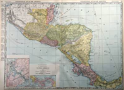
Central America
In stock
Rand McNally made this “Commercial Atlas of America” in 1920. Central America is illustrated on this map. Two insets show greater deatail of the Panama Canal. The names of regions and important cities, common sea routes, lakes and rivers are identified. Each railroad is labled with numbers that correspond to a key providing their names.
Size: 26 x 19 inches
Condition: Very Good-age toning, small tears in margin
Map Maker: Rand McNally
Coloring: Printed Color
Year: 1920
Condition: Very Good-age toning, small tears in margin
Map Maker: Rand McNally
Coloring: Printed Color
Year: 1920
In stock


