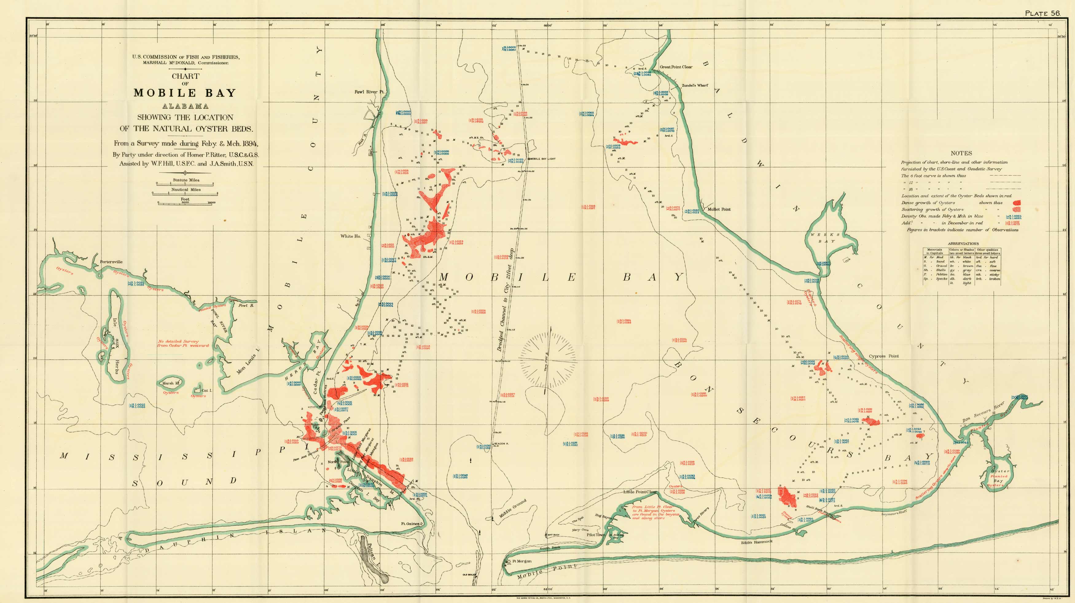
Chart of the Mobile Bay, Alabama, Showing the Location of the Natural Oyster Beds
Out of stock
A very interesting map of Mobile Bay showing the location of natural oyster beds from an 1894 survey.
Size: 32.5 x 21.5 inches
Condition: Very Good - some paper separation/creasing along folds
Map Maker: U.S. Commission of Fish and Fisheries
Coloring: Original Hand Color
Year: 1894
Condition: Very Good - some paper separation/creasing along folds
Map Maker: U.S. Commission of Fish and Fisheries
Coloring: Original Hand Color
Year: 1894
Out of stock


