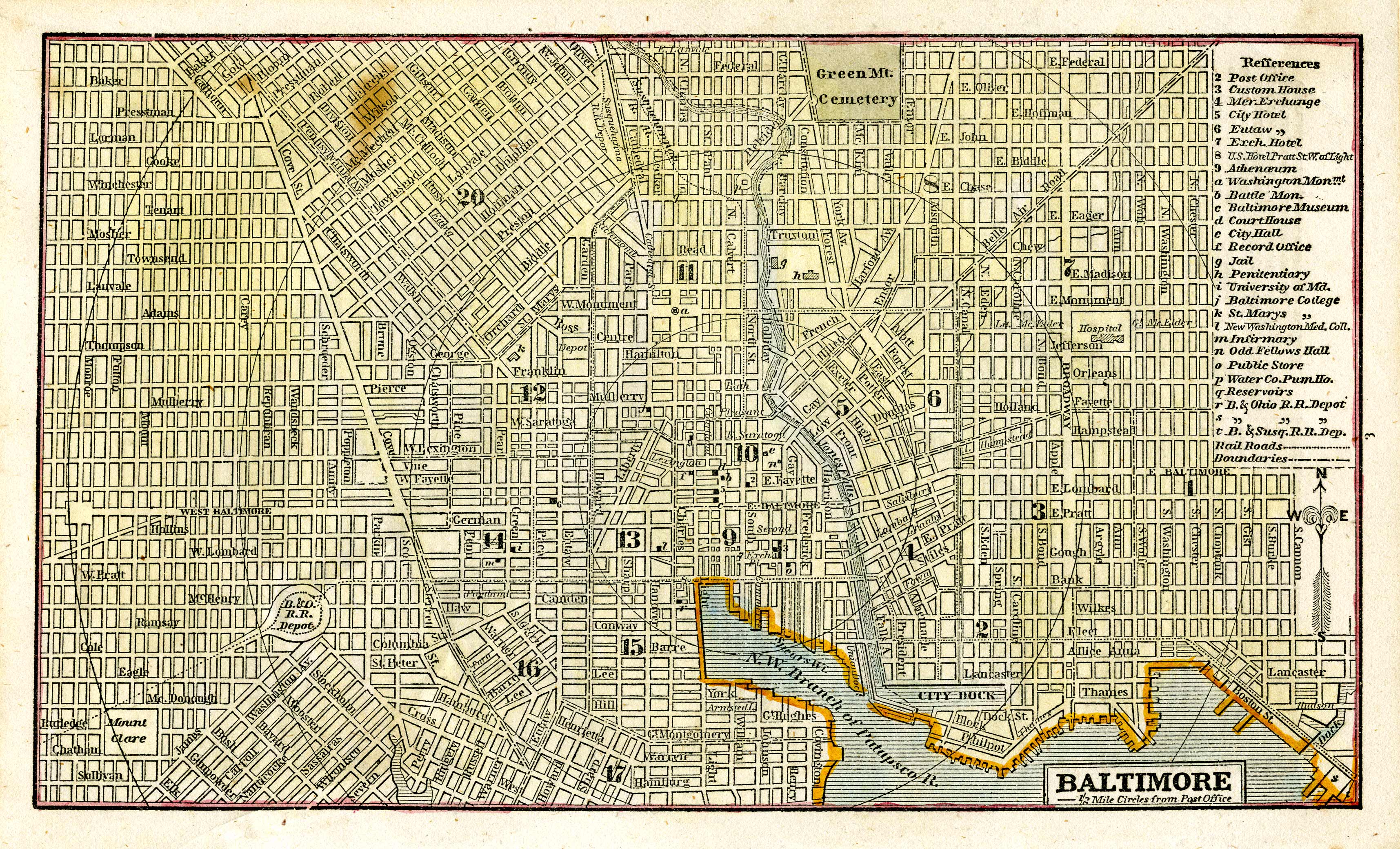
Baltimore
In stock
This handsome wood-engraved, hand-colored map is from Phelps, Fanning & Co.s 1853 Fanning’s Illustrated Gazetteer of the United States. It gives a very interesting pre-Civil War glimpse of the area “giving the location, physical aspect, mountains, rivers, lakes, climate, productive and manufacturing resources, commerce, government, education, general history, etc. of the states, territories, counties, cities, towns, and post-offices in the American Union”.
Size: 8.25 x 4.75 inches
Condition: Excellent - light foxing
Map Maker: Phelps, Fanning & Co.
Coloring: Original Hand Color
Year: 1853
Condition: Excellent - light foxing
Map Maker: Phelps, Fanning & Co.
Coloring: Original Hand Color
Year: 1853
In stock


