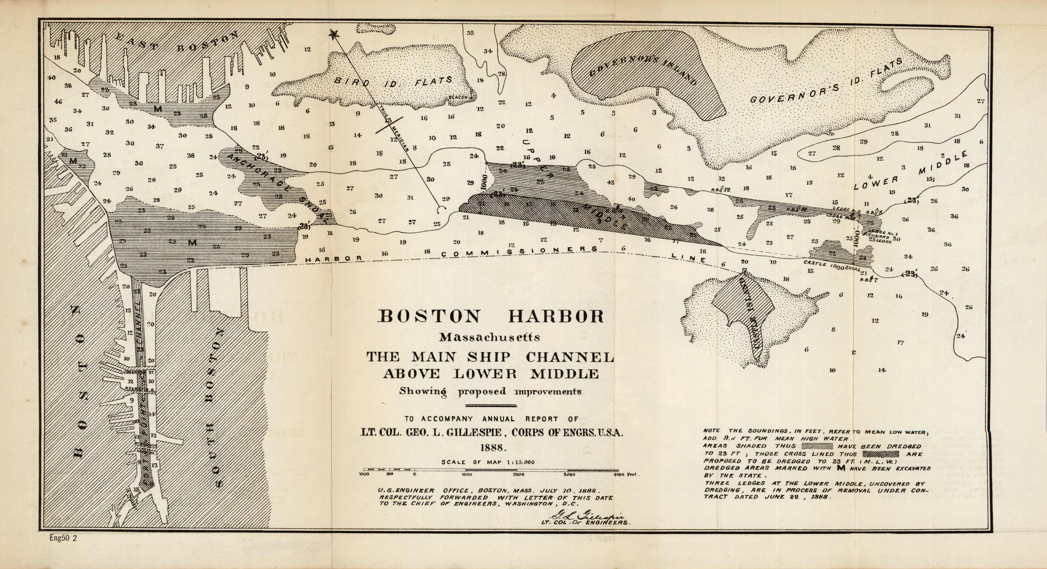
Boston Harbor Massachusetts The Main Channel Above Lower Middle Showing Proposed Improvments
In stock
A beautiful, detailed map of the Boston Harbor, showing proposed improvements to accompany annual report of Lt. Col. L. Gillespie, Corps of Engineers, 1888. This chart shows the Fort Point Channel between Boston and South Boston, as well as the bottom part of East Boston to Governors Island Flats down to Castle Island. The islands are marked with different shaded areas which correspond to what has been dredged and proposed dredged areas, and what has been excavated by the state. The numbers indicate depth levels of the water.
Size: 14.75 x 8 inches
Condition: Very Good
Map Maker: U.S. Corps of Engineers
Coloring: Black and White
Year: 1888
Condition: Very Good
Map Maker: U.S. Corps of Engineers
Coloring: Black and White
Year: 1888
In stock


