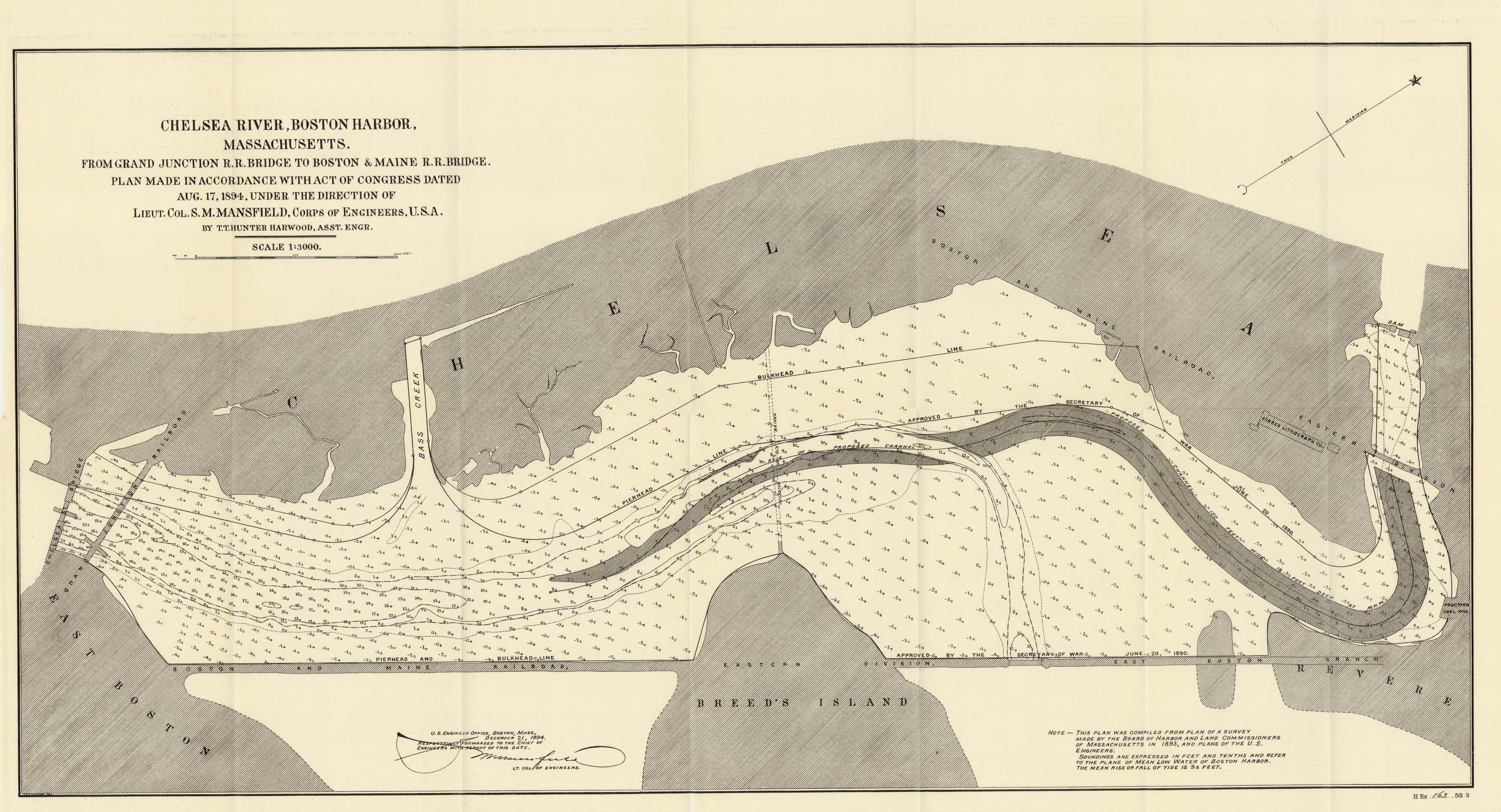
Chelsea River, Boston Harbor, Massachusetts
In stock
This 1894 map from the U.S. Army Corps of Engineers shows “Chelsea River, Boston Harbor, Massachusetts – from Grand Junction R.R. Bridge to Boston & Maine R.R. Bridge”.
Size: 29 x 15 inches
Condition: Very Good - minor paper separation and creasing along folds
Map Maker: U.S. Army Corps of Engineers
Coloring: Black & White
Year: 1894
Condition: Very Good - minor paper separation and creasing along folds
Map Maker: U.S. Army Corps of Engineers
Coloring: Black & White
Year: 1894
In stock


