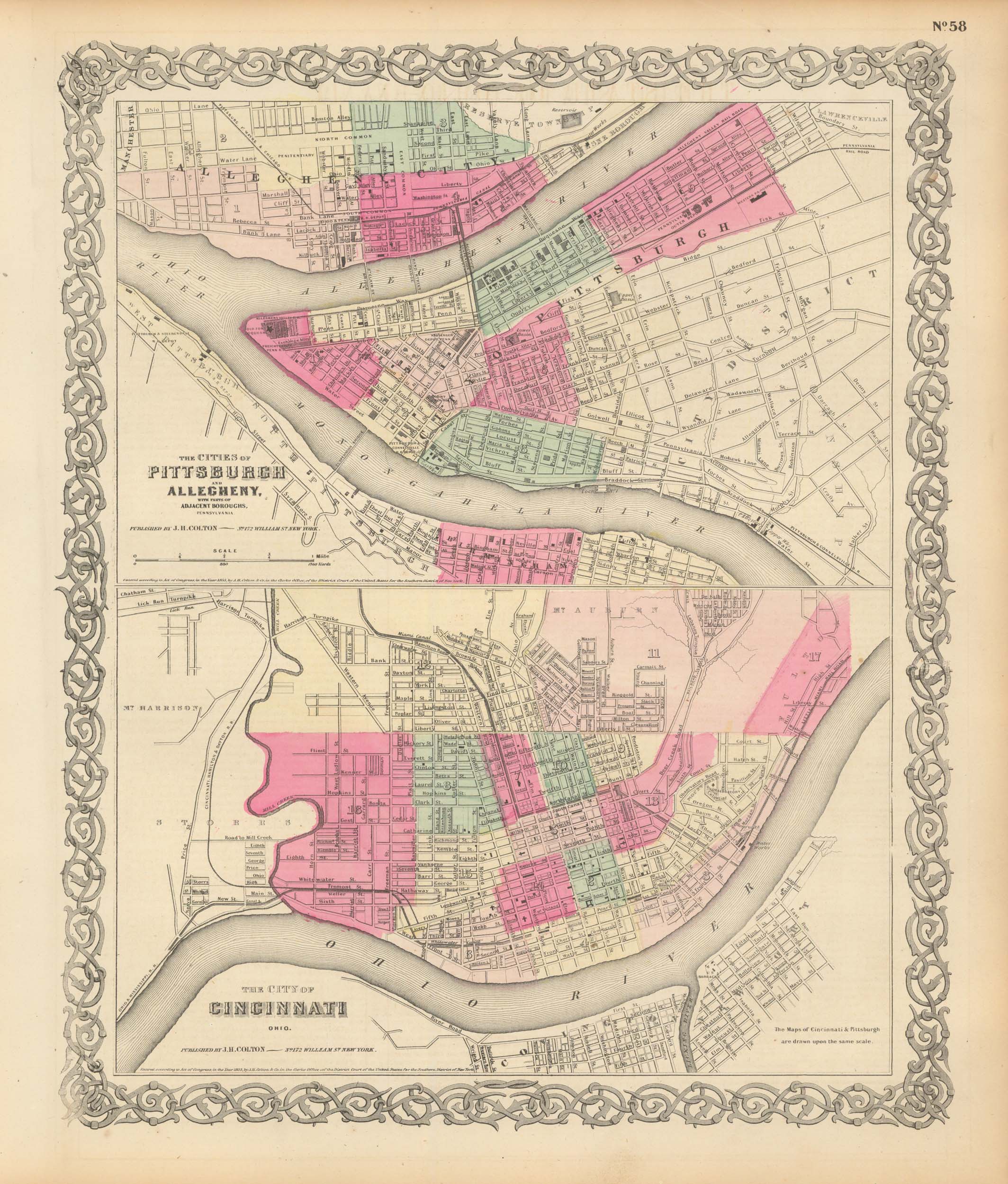
Colton’s 1865 Map of Pittsburgh and Allegheny, and Cincinnati
In stock
We are pleased to offer this map issued as part of Colton’s General Atlas, published in 1865. The Civil War ended April 9, 1865 and this atlas was one of the first post-Civil War atlas’ published. Colton continued his tradition of beautiful hand coloring with this atlas.
Size: 13 x 16 inches
Condition: Very Good
Map Maker: J.H. Colton
Coloring: Original Hand Color
Year: 1865
Condition: Very Good
Map Maker: J.H. Colton
Coloring: Original Hand Color
Year: 1865
In stock


