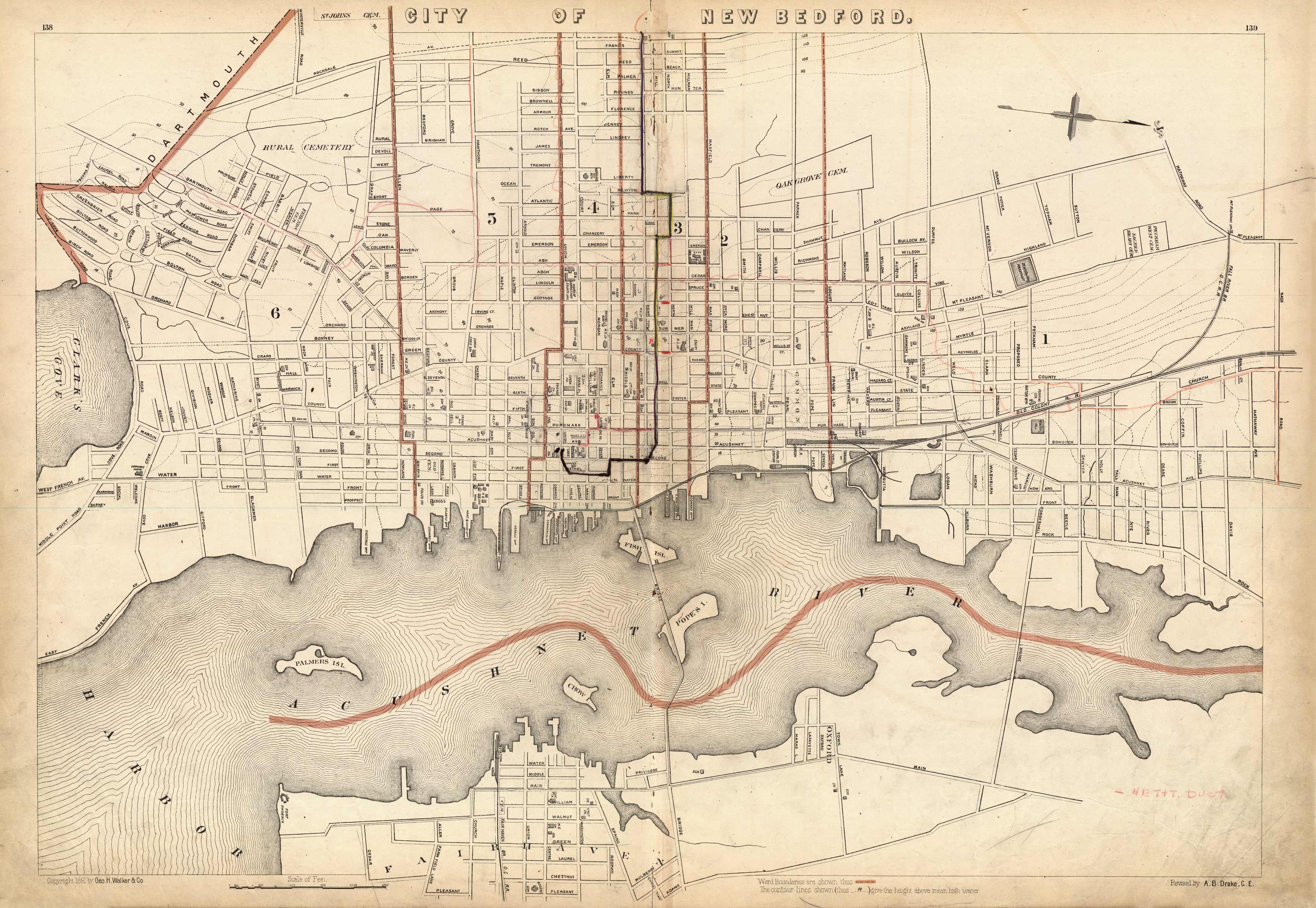
City of New Bedford
In stock
This 1891 map of New Bedford names streets, churches, cemeteries, government buildings, railroad lines, forts, city stables, a pumping station, an opera house, and more! Part of Fairhaven and Dartmouth are shown. Crow Island, Pope Island, Fish Island, and Palmer Island are also labeled. Ward boundaries are denoted with colored borders; contour lines indicate heights above mean high water.
Size: 26.5 x 18 inches
Condition: Very Good
Map Maker: Geo H. Walker & CO.
Coloring: Printed Color
Year: 1891
Condition: Very Good
Map Maker: Geo H. Walker & CO.
Coloring: Printed Color
Year: 1891
In stock


