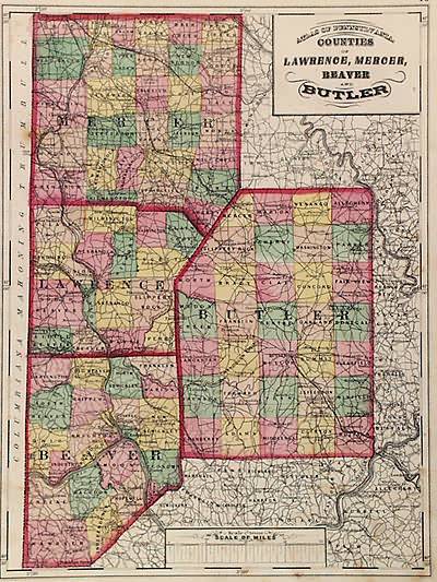
Counties of Lawrence, Mercer, Beaver, and Butler (Pennsylvania)
Out of stock
This antique map is from the Topographical Atlas of the State of Pennsylvania created by Henry F. Walling and O.W. Gray, in 1872. The maps brilliance is obvious through the hand coloring of pink, green, yellow, and tan. This map features the city of Philadelphia detailing town names, railroads, and several street names.
Size: 11.5 x 15.5 inches
Condition: Very Good
Map Maker: Henry Walling & O.W. Gray
Coloring: Original Hand Coloring
Year: 1872
Condition: Very Good
Map Maker: Henry Walling & O.W. Gray
Coloring: Original Hand Coloring
Year: 1872
Out of stock


